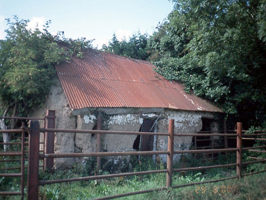
What is recorded here
Group of three rubble stone and mud-walled farm buildings, c.1750, in derelict condition. ROOF: Double pitched corrugated iron. WALLS: Coursed rubble stone and mud. OPENINGS: Square headed openings with timber lintel above mud reveals, blocked up with corrugated iron sheeting.
This does not grant access. Most recorded buildings are privately owned; view them only from public ground unless the owner allows entry.
Places near here
 Enclosure in RingEnclosure · 444 yd
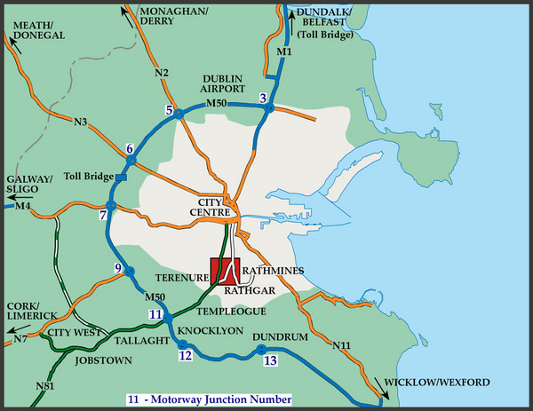 Field system in RingField system · 704 yd
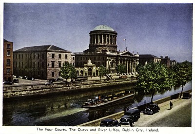 QuarryQuarry · 824 yd
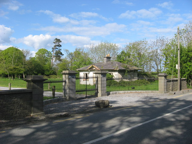 Whitestown Housegate lodge · 1653 yd
 Wavin LakesNature reserve · 1.0 mi
 Clonard SpringSpring · 1.2 mi
 Castle (remains of)Castle, tower house · 1.3 mi
 Balrothery TowerCastle · 1.4 mi
 Balrothery Heritage CentreMuseum · 1.4 mi
 Flat cemetery in DarcystownFlat cemetery · 1.7 mi
 KnockbrackMountain / peak · 1.8 mi
 Balbriggan Tourist OfficeVisitor information · 2.2 mi
Other information
Photo: National Inventory of Architectural Heritage · Website use allowed for educational or private purposes with source credit