What is recorded here
Fairy fort / stone ringfort in Rathosey is a fairy fort or stone ringfort in Rathosey, County Sligo, Ireland. It occupies a level area in stony pasture at the base of a south-facing slope. The oval site uses a sod-covered heap, a stone pile against a natural rising slope and a drystone wall to mark its edges. Two rectangular stony platforms stand inside the enclosure at the northeast and west.
In stony pasture, on a level area at the base of a S-facing slope. An oval area (27.5m NNE-SSW; 32m ENE-WSW) defined S-NW by a sod-covered heap of stones (Wth 4.4m; int. H 0.2m; ext. H 0.5m), NW-NE by a pile of stones (Wth 5.6m; int. H 1.4m) accumulated against a natural rising slope and NE-S by a drystone wall (Wth 2.5m; H 1.2m). The external basal courses of the drystone wall are large irregular limestone blocks and are topped by smaller stones. The inner rim of the wall (Wth 0.8m) is higher than the rest and is incorporated into a field boundary. In the interior are two rectangular stony platforms built against the inner edge of the enclosing element at NE and W. The NE platform (5m E-W; 7m N-S; H 0.4m) is edged with large stones and the W platform (4.5m N-S; 4m E-W) is sod-covered and has a slightly raised rim (Wth 1.5m; ext. H 0.4m). A small irregular field-clearance cairn lies against the enclosing element at NW. Part of a complex of cashels (SL025-015001-; SL025-015002-; SL025-015004-; SL025-015007-; SL025-015012-), enclosures (SL025-015003-; SL025-015011-), a possible enclosure (SL025-015005-), a rath (SL025-015006-) and a hut site (SL025-015010-).
The above description is derived from the published 'Archaeological Inventory of County Sligo' compiled by Ursula Egan, Elizabeth Byrne, Mary Sleeman with Sheila Ronan and Connie Murphy (Dublin Stationery Office, 2005).
Date of upload: 18 January 2008
The monument record does not grant public access. Check the route and ask the landowner before entering private land.
- What survives
- Recorded monument
Places near here
 Enclosure in RathoseyEnclosure · 356 yd
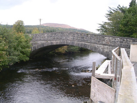 bridgebridge · 760 yd
 IndicatedCastle, motte · 826 yd
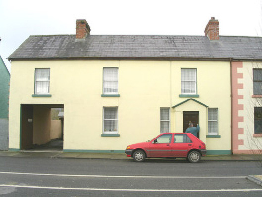 court housecourt house · 925 yd
 Tullaghan HillMountain / peak · 1565 yd
 Tullaghan CastleCliff-edge fort · 1584 yd
 DoomoreMountain / peak · 1649 yd
 Moymlough Castle (in Ruins)Castle, tower house · 1.7 mi
 RinnatalleenHeadland · 2.7 mi
 Derinch PointHeadland · 3.0 mi
 CarrigeenfaddaIslet · 3.8 mi
 Giant's GraveArchaeological place · 4.0 mi