
What is recorded here
Dun Griffen vanished when builders removed its stones for the Baily lighthouse, exposing large quantities of bones beneath the headland. The cache hid inside the earth rather than standing proud, waiting for human arrogance to break its surface. Weapons emerged later during cottage work, suggesting the fort stored more than memory. It remains a lost chamber, recording violence and burial beneath an ordinary coast.
Named 'site of caher' on the 1837 OS 6-inch map, this site has been referred to as 'Dun Griffen' (Shearman 1893, 451). The cashel, which had been erected at the eastern end of the headland, was removed during construction of the Baily lighthouse. Large quantities of bones were revealed. In 1890 when the Board of Irish Lights erected some cottages on the 'Little Bailey' several weapons of uncertain date were discovered in the digging of foundations. Not visible at ground level.
Compiled by: Geraldine Stout
Date of upload: 26 August 2011
The monument record does not grant public access. Check the route and ask the landowner before entering private land.
- What survives
- Recorded monument
Places near here
 Baily Lighthouselighthouse · 12 yd
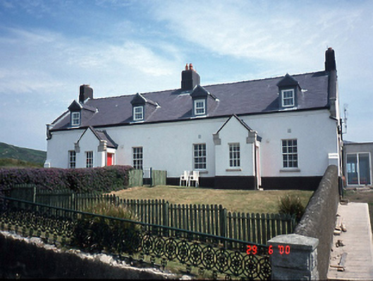 lighthouse keeper's houselighthouse keeper's house · 172 yd
 Promontory fortPromontory fort, coastal · 470 yd
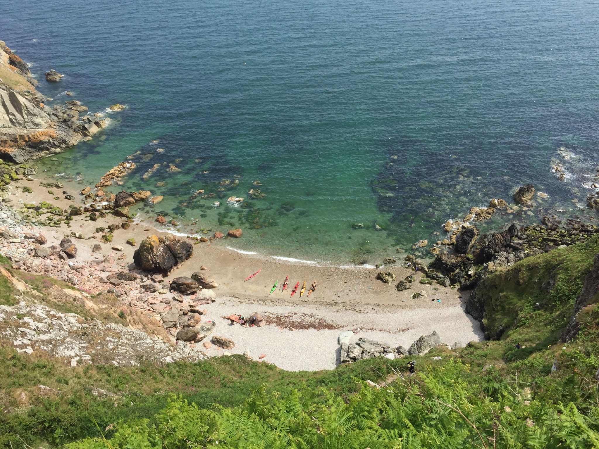 Hidden BeachBeach / strand · 1021 yd
 Bring CentreVisitor information · 1109 yd
 Broad StrandBeach / strand · 1264 yd
 Slí Fhine Gall - Binn Éadair - An MullachVisitor information · 1388 yd
 EIRE 6 signSecond World War neutrality sign · 1629 yd
 Ben of HowthMountain / peak · 1.1 mi
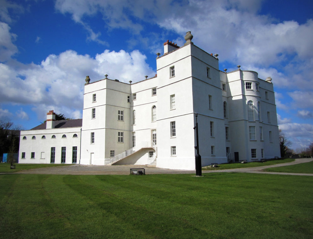 Drumluck CastleCastle, unclassified · 1.1 mi
 Howth Bog of the Frogs LoopWalking route · 1.1 mi
 Picnic RockArchaeological place · 1.2 mi
Other information
Photo: Credit not shown in the picture search · Rights wording not checked; contact us if this picture should be removed