What is recorded here
Fairy fort / stone ringfort in Gortaphuill (athlone North By.) is a fairy fort or stone ringfort in Gortaphuill (athlone North By.), County Roscommon, Ireland. The subcircular cashel sits on a gentle east-facing slope with internal dimensions of 41m east-west and 35m north-south. Remains of a stone wall with facing-stones define the boundary, while a separate stone-walled road approaches from the south and east-northeast without overlapping the structure. Another cashel stands 250m to the west, and the site contains no identifiable original entrance.
On a gentle E-facing slope of a broad hill. Subcircular overgrown area (int. dims 41m E-W; 35m N-S) defined by the remains of a stone wall with facing-stones (at E: original Wth 2m). There is no identifiable original entrance. A stone walled road (RO047-015006-) (Wth c. 5m) defined by stone wall spreads (Wth c. 2m) approaches the cashel from the S and ENE, but there is no evidence that they overlie it. The cashel is built on rath (RO047-015003-), and cashel (RO047-015001-) is c. 250m to the W.
Compiled by: Michael Moore
Date of upload: 24 August 2010
The monument record does not grant public access. Check the route and ask the landowner before entering private land.
- What survives
- Recorded monument
Places near here
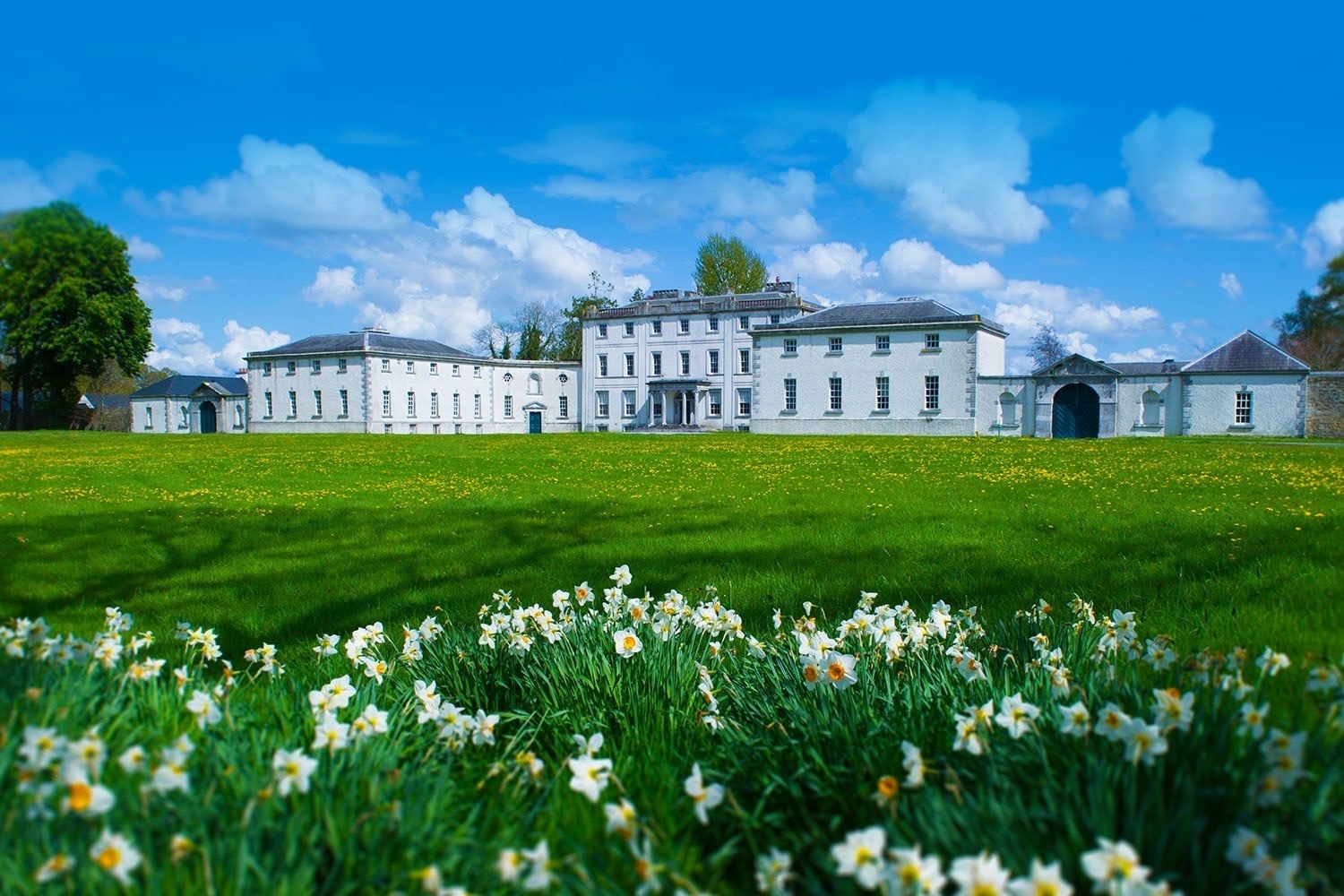 Enclosure in TullyneenyEnclosure · 715 yd
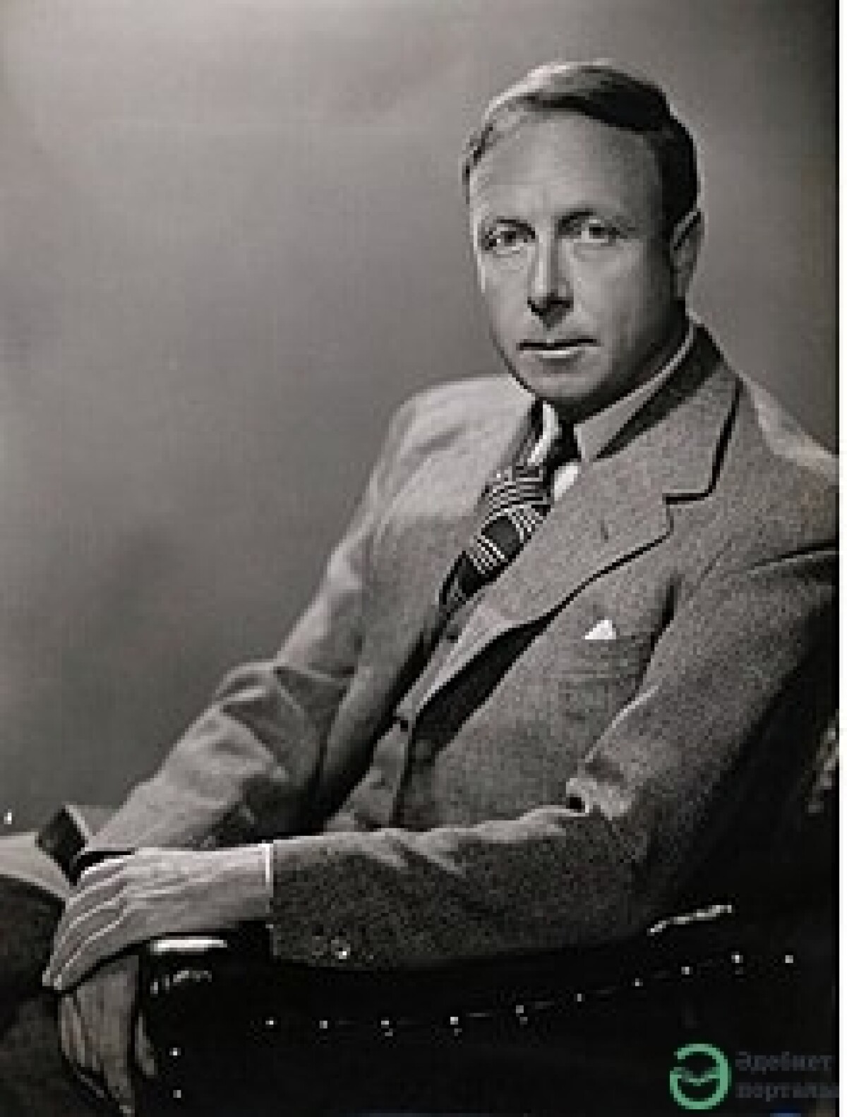 Cronin FortFairy fort / earthen ringfort · 765 yd
 Inchnaveague IslandIslet · 1.3 mi
 InchnagowerIslet · 1.4 mi
 RoadRoad, road/trackway · 1.9 mi
 CastleCastle, unclassified · 2.0 mi
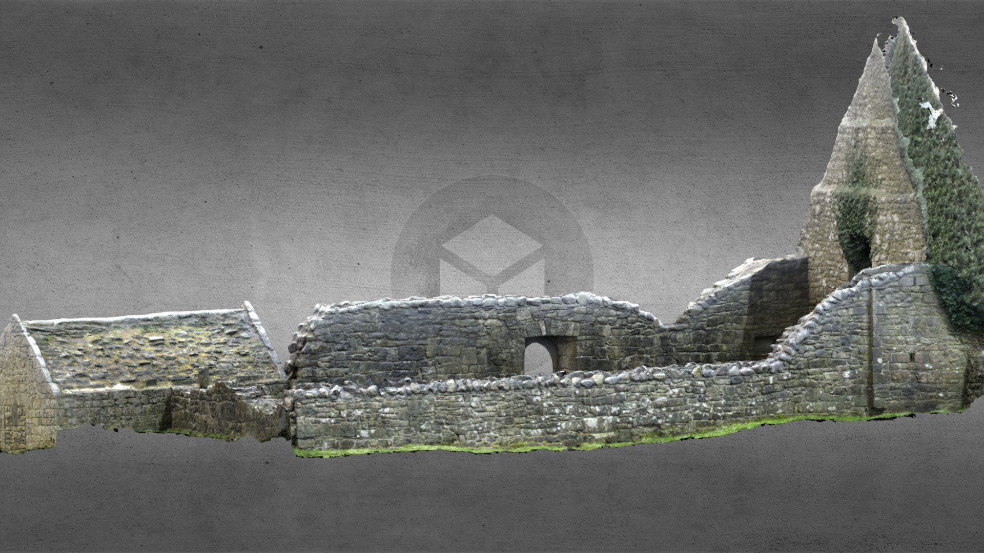 Church (in Ruins)Church · 2.1 mi
 Castle (Site of)Castle, unclassified · 3.7 mi
 Sheep HillMountain / peak · 5.0 mi
 European Crab AppleEuropean Crab Apple · 5.7 mi
 Aughrane WoodsForest · 6.7 mi
 Mount MaryMountain / peak · 9.8 mi