What is recorded here
In improved pasture. Reported by Jean-Charles Caillere. Visible on Google Earth aerial imagery (16-3-2011) as the cropmark of a circular enclosure (est. diam. c. 60m). A ringfort (RO047-020001-) lies c. 140m to the NW and a second ringfort (RO047-022----) lies c. 300m to the NE.
See attached image: RO047-105----_01 Google Earth aerial image (16-3-2011)
Compiled by: Gearóid Conroy
Date of upload: 2 February 2023
The monument record does not grant public access. Check the route and ask the landowner before entering private land.
- What survives
- Recorded monument
Places near here
 Tullyneeny FortFairy fort / earthen ringfort · 388 yd
 Gortaphuill FortFairy fort / earthen ringfort · 856 yd
 InchnagowerIslet · 1.5 mi
 RoadRoad, road/trackway · 1.5 mi
 Inchnaveague IslandIslet · 1.5 mi
 CastleCastle, unclassified · 1.6 mi
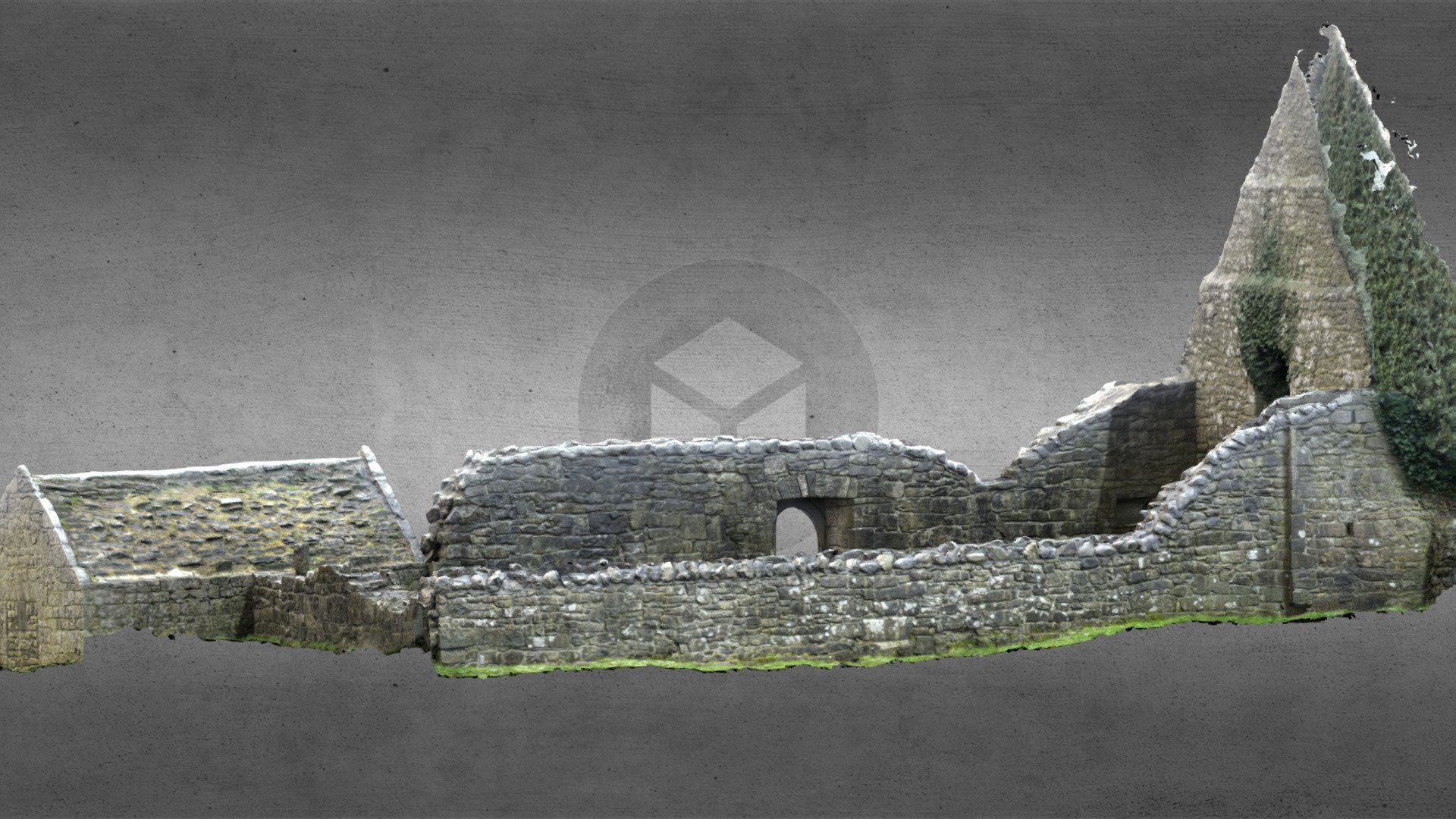 Church (in Ruins)Church · 2.5 mi
 Castle (Site of)Castle, unclassified · 3.8 mi
 Sheep HillMountain / peak · 4.6 mi
 LismoneyForest · 6.6 mi
 Aughrane WoodsForest · 7.0 mi
 Mount MaryMountain / peak · 10 mi
Other information
Photo: Credit not shown in the picture search · Rights wording not checked; contact us if this picture should be removed