What is recorded here
On a low spur extending S from a low drumlin. Circular grass-covered area with rock outcrop (int. diam. 30m E-W; 28m N-S) defined by the outer facing stones (dims c. 0.8m x. c. 0.4m; T c. 0.4m) of a wall, which survives best (H c. 1m) E-S. The interior is largely occupied by rock outcrop which has a rectangular quarry (dims 1.4m x 1.1m; D 0.8m) cut into it at E. There is no visible entrance.
Compiled by: Michael Moore
Date of upload: 24 August 2010
The monument record does not grant public access. Check the route and ask the landowner before entering private land.
- What survives
- Recorded monument
Places near here
 IndicatedGraveyard · 952 yd
 TobernooneHoly well · 1060 yd
 Moylung Castle (in ruins)Castle, unclassified · 1582 yd
 R. C. ChapelChurch · 1746 yd
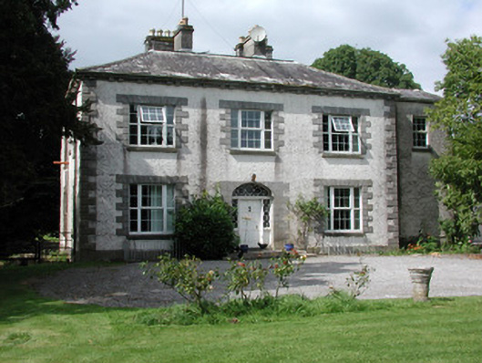 Moylurg Housecountry house · 1.1 mi
 Castle (Site of)Castle, unclassified · 3.0 mi
 Hughestown WoodForest · 3.0 mi
 Horse-chestnutHorse-chestnut · 3.2 mi
 Erris BayBay · 3.4 mi
 Trinity IslandIslet · 3.7 mi
 Bingham IslandIslet · 3.9 mi
 Boyle AbbeyHeritage attraction · 4.0 mi