What is recorded here
Fairy fort / stone ringfort in Carrowboy,cartron (ballintober South By., Kilbride North Ed) is a fairy fort or stone ringfort in Carrowboy,cartron (ballintober South By., Kilbride North Ed), County Roscommon, Ireland. It occupies an oval grass-covered area at the bottom of a slight NE-facing slope with outcropping rock. A grass-covered stone spread defines the perimeter, while intermittently visible facing stones remain at the south. Two quarries and a traversing stone wall mark the interior and outside SE-SW edge.
At the bottom of a slight NE-facing slope with outcropping rock. Oval grass-covered area (int. dims 44.8m NNE-SSW; 37.5m WNW-ESE) defined by a grass-covered stone spread (Wth 3-4m; int. H 0.2-0.5m; ext. H 0.4-0.6m) with intermittently visible facing stones (original Wth 1.4m at at S). The original entrance is not identified. There is a quarry (diam. 6m; D 0.2m) inside the perimeter at S, and a quarry (Wth of base 6m; D 0.2-0.6m) outside the perimeter SE-SW. The interior is traversed by a WNW-ESE stone wall and townland boundary which also partly overlies the perimeter at W (L 7m) and E (L 11m).
Compiled by: Michael Moore
Date of upload: 24 August 2010
The monument record does not grant public access. Check the route and ask the landowner before entering private land.
- What survives
- Recorded monument
Places near here
 Enclosure in Carroward (ballintober South By., Kilbride North Ed),cartron (ballintober South By., Kilbride North Ed)Enclosure · 449 yd
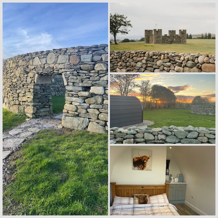 Embanked enclosureFairy fort / earthen ringfort · 554 yd
 Leitrim CastleCastle, unclassified · 1561 yd
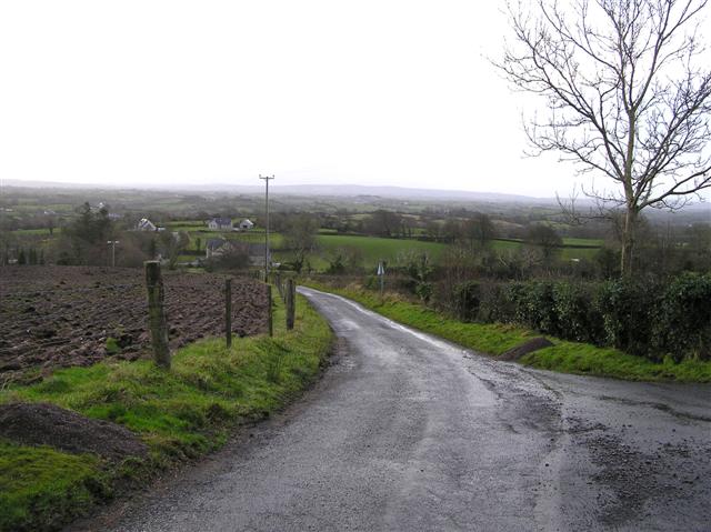 RoadRoad, road/trackway · 1.2 mi
 Grange AbbeyChurch · 1.3 mi
 Cruachan Aí Heritage CentreMuseum · 4.6 mi
 CastleCastle, unclassified · 4.6 mi
 Slieve BawnMountain / peak · 4.8 mi
 Doughill ForestForest · 5.0 mi
 Common LimeCommon Lime · 5.0 mi
 ToberagullaSpring · 5.1 mi
 Strokestown House GardensHeritage attraction · 5.1 mi