What is recorded here
Fairy fort in Annagh, County Meath: an oval grass ringfort, 54m by 40m, with a straight southern stone edge, quarry holes at both ends, one western entrance, and the ghost of a small house inside. It sits on a rise above low ground, hidden from ordinary maps but plain in aerial photographs. People may have lived there, marked the land, and disappeared into story; the stones still keep the shape of that forgotten presence.
Situated on a rise in a low-lying landscape. This feature is not marked on any edition of the OS 6-inch map but it is visible on aerial photographs (GSIAP: N 257, 258). This is an oval or D-shaped and grass-covered area (dims 54m NNW-SSE; 40m ENE-WSW) with a straight side (L 23m) at S defined by a grass-covered stone spread (Wth 3-4m; max. int. H 0.5m; max. ext. H 1m), which has some quarry holes at W an E. There is no visible fosse and the only entrance (Wth 3m) is towards the W end of the perimeter at S. The remains of a house (ext. dims 11m E-W; 5m N-S) defined by stone spreads (Wth 1.5m; max. H 0.5m) and with an entrance at the centre of the N wall is in the N interior.
The above description is derived from the published 'Archaeological Inventory of County Meath' (Dublin: Stationery Office, 1987). In certain instances the entries have been revised and updated in the light of recent research.
Compiled by: Michael Moore
Date of revision: 22 November 2018
The monument record does not grant public access. Check the route and ask the landowner before entering private land.
- What survives
- Recorded monument
Places near here
 EnclosureEnclosure, large enclosure · 364 yd
 European BeechEuropean Beech · 652 yd
 Enclosure in BallanyEnclosure · 772 yd
 kilnkiln · 1.2 mi
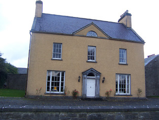 Sallymount Housefarm house · 1.4 mi
 Moat CastleCastle, unclassified · 1.6 mi
 Seafin HillMountain / peak · 1.8 mi
 CastleCastle, tower house · 1.8 mi
 Zip WireHeritage attraction · 3.0 mi
 European YewEuropean Yew · 3.0 mi
 Slieve GullionMountain / peak · 3.4 mi
 Mullaghmeen ForestPicnic place · 3.5 mi