
What is recorded here
Situated on a slight S-facing slope in a low-lying landscape. It is not depicted on any OS 6-inch map but it is visible as a feature on aerial photographs (GSIAP: N, 257, 258). This is a D-shaped grass-covered area (dims 66m NNE-SSW; 42.5m WNW-ESE) defined by an earthen bank (at N: Wth of base 4m; int. H 1.2m; ext. H 1m; at SSW: Wth of base 4.3m; int. H 0.5m; ext. H 1.4m). There is no visible fosse and an original entrance is not identified. The enclosure is truncated by a NE-SW field bank towards the edge at SE. On a rise in the S interior is a house site (ext. dims 7.7m NNE-SSW; 5m WNW-ESE) defined by stone spreads (Wth c. 1-1.5m; H 0.3m) with no identifiable entrance. The interior of the enclosure is overlaid by other relict field walls that do not survive outside the enclosure.
The above description is derived from the published 'Archaeological Inventory of County Meath' (Dublin: Stationery Office, 1987). In certain instances the entries have been revised and updated in the light of recent research.
Compiled by: Michael Moore
Date of revision: 22 November 2018
The monument record does not grant public access. Check the route and ask the landowner before entering private land.
- What survives
- Recorded monument
Places near here
 Enclosure in BallanyEnclosure · 418 yd
 European BeechEuropean Beech · 889 yd
 Settlement desertedSettlement deserted, medieval · 1083 yd
 kilnkiln · 1693 yd
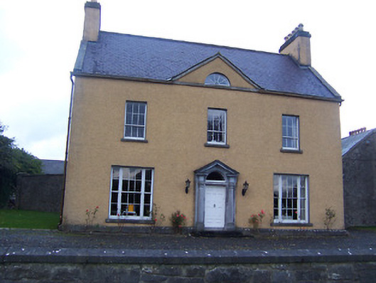 Sallymount Housefarm house · 1.2 mi
 Moat CastleCastle, unclassified · 1.7 mi
 CastleCastle, tower house · 1.7 mi
 Seafin HillMountain / peak · 1.7 mi
 Ben of ForeMountain / peak · 1.9 mi
 Fore AbbeyHeritage attraction · 2.0 mi
 Zip WireHeritage attraction · 3.1 mi
 European YewEuropean Yew · 3.2 mi
Other information
Photo: Credit not shown in the picture search · Rights wording not checked; contact us if this picture should be removed