What is recorded here
Described in 1977 as an enclosure that is situated on top of an oval shaped natural hillock with ringfort (WM032-100----) 90m to the SSE. The enclosure consists of an oval-shaped area defined by a drystone wall running around the base of the hillock which is best preserved at E. There are traces of an old field fence running E-W across the hillock on its S side. This enclosure is depicted on the first edition OS 6-inch map as a D-shaped enclosure with the straight side forming the W side of the enclosure. On this map a small field is located immediately to the W with the straight side of the enclosure forming the E boundary of the adjoining field. A smaller field is located immediately to the S of the enclosure. This enclosure is not depicted on the revised editions of the OS 6-inch maps which depicts the area as an irregular-shaped tree plantation (dims. c. 46m N-S; 36m E-W). There are still some pine trees growing on top of the hillock which belong to this plantation. The planting of the trees in the late 19th / early 20th century resulted in the degradation of the enclosing feature of this monument.
Compiled by: Caimin O’Brien
Date of upload: 28 March 2013
The monument record does not grant public access. Check the route and ask the landowner before entering private land.
- What survives
- Recorded monument
Places near here
 OutlinedChurch · 962 yd
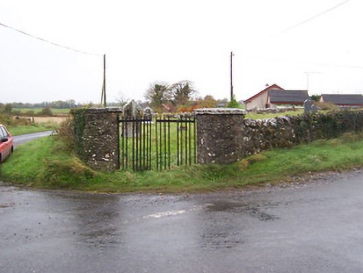 Balrath Graveyardgates/railings/walls · 998 yd
 Partially hachuredFairy fort / earthen ringfort · 1174 yd
 Balrath CastleCastle · 1320 yd
 Enclosure in Balrath (moycashel By.)Enclosure · 1341 yd
 Killalea FortCastle, motte · 1.4 mi
 Bonfire HillMountain / peak · 3.8 mi
 Ardan WoodWood · 4.0 mi
 Kilmalady HillMountain / peak · 4.4 mi
 High WoodWood · 5.1 mi
 St. Columba's WellSpring · 5.3 mi
 Clara Bog BoardwalkHeritage attraction · 7.8 mi