
What is recorded here
Situated on the E end of a ridge, with extensive views in all directions. Balrath Castle (WM032-103001-) 320m to the E. Forming the N end of Balrath graveyard (WM032-102----) are the wall footings of a rectangular structure aligned E-W which possibly represents the remains of a church. Only a short section of the central part of the S wall (L 2.2m; H 2.5m; T 0.85m) of the church survives upstanding and is featureless. The wall built of coursed rubble measures 0.85m thick suggesting a pre-1700 date for this building. There was no visible remains of the wall footings of the E or W walls of this structure. The N and S walls of this possible church are depicted on the 1837 ed. OS 6-inch map. On this map the two walls are not depicted as a building. It has been suggested that these walls represent the remains of a private burial area instead of a pre-1700 church (SMR file). No church is depicted standing inside this graveyard on any edition of the OS 6-inch maps. According to local information this building is known locally as Balrath Church.
Compiled by: Caimin O’Brien
Date of upload: 3 October 2017
A local church or high cross; wider significance not recorded.
The monument record does not grant public access. Check the route and ask the landowner before entering private land.
- What survives
- Recorded monument
Places near here
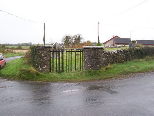 Balrath Graveyardgates/railings/walls · 48 yd
 Balrath CastleCastle · 359 yd
 Enclosure in Balrath (moycashel By.)Enclosure · 380 yd
 Partially hachuredFairy fort / earthen ringfort · 542 yd
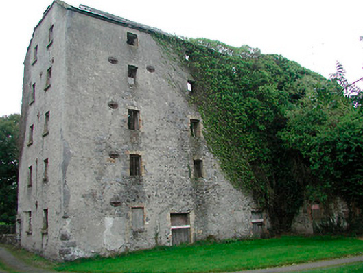 mill (water)mill (water) · 1266 yd
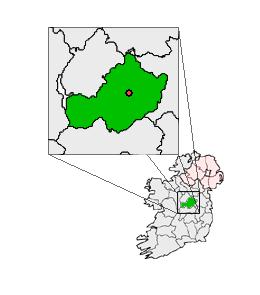 Partially outlinedCastle, unclassified · 1.4 mi
 Bonfire HillMountain / peak · 3.6 mi
 Ardan WoodWood · 3.7 mi
 Kilmalady HillMountain / peak · 4.9 mi
 High WoodWood · 5.2 mi
 St. Columba's WellSpring · 5.4 mi
 Clara Bog BoardwalkHeritage attraction · 8.2 mi
Other information
Photo: Credit not shown in the picture search · Rights wording not checked; contact us if this picture should be removed