
What is recorded here
Situated at the SE end of a small ridge running NW-SE, in pasture, with good views to SE. Monument described as a roughly oval-shaped area (dims. 44m NNW-SSE; 39m ENE-WSW) enclosed by an earth and stone bank from NW-N-E and by a scarp from E-S-WSW. The bank is incorporated into a field boundary from NW-N-NE. The perimeter has been levelled from WSW-W-NW. There is no indication of a fosse. A gap (Wth at top 3.6m; basal Wth 2.4m) at SE may represent the original entrance. The interior rises unevenly from the perimeter towards the centre. Monument is visible today as a subcircular-shaped earthwork on Digital Globe aerial photography, which is open to W.
Compiled by Alison McQueen, Vera Rahilly and Caimin O’Brien.
Date of upload: 22 November 2019
A local fairy fort (ringfort/rath); wider significance not recorded.
The monument record does not grant public access. Check the route and ask the landowner before entering private land.
- What survives
- Recorded monument
Places near here
 OutlinedChurch · 542 yd
 Balrath CastleCastle · 568 yd
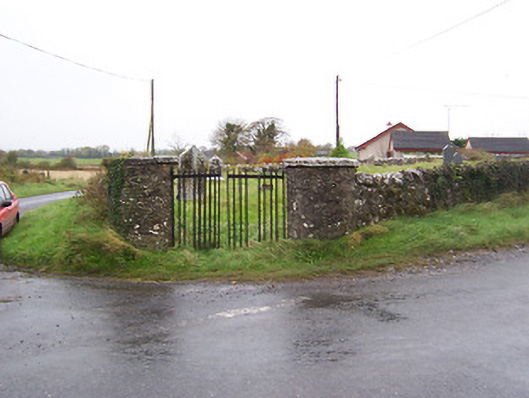 Balrath Graveyardgates/railings/walls · 569 yd
 Enclosure in Balrath (moycashel By.)Enclosure · 576 yd
 Partially outlinedCastle, unclassified · 1.1 mi
 Bonfire HillMountain / peak · 3.9 mi
 Ardan WoodWood · 3.9 mi
 Kilmalady HillMountain / peak · 5.1 mi
 High WoodWood · 5.5 mi
 St. Columba's WellSpring · 5.7 mi
 Clara Bog BoardwalkHeritage attraction · 8.4 mi
Other information
Photo: Credit not shown in the picture search · Rights wording not checked; contact us if this picture should be removed