What is recorded here
The ringfort was inspected in 1977 and described as situated on a small rise in undulating countryside with fairly good views in all directions except to N. Site consists of a small roughly oval shaped area (diam. 21m N-S; 18.5m E-W) enclosed by slight traces of an earth and stone bank with no indication of an outer fosse. There is no sign of an original entrance feature. No features are visible in the interior of the ringfort. The monument is located in the SE corner of a long rectangular field.
Compiled by: Caimin O'Brien
Date of upload: 13 March 2013
A local fairy fort (ringfort/rath); wider significance not recorded.
The monument record does not grant public access. Check the route and ask the landowner before entering private land.
- What survives
- Recorded monument
Places near here
 Partially hachuredFairy fort / earthen ringfort · 277 yd
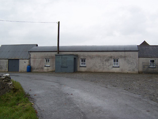 farm housefarm house · 468 yd
 Balrath CastleCastle · 707 yd
 Enclosure in Balrath (moycashel By.)Enclosure · 708 yd
 OutlinedChurch · 788 yd
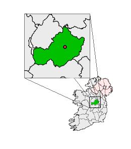 Partially outlinedCastle, unclassified · 1638 yd
 Ardan WoodWood · 3.9 mi
 Bonfire HillMountain / peak · 3.9 mi
 Kilmalady HillMountain / peak · 5.3 mi
 High WoodWood · 5.6 mi
 St. Columba's WellSpring · 5.9 mi
 Clara Bog BoardwalkHeritage attraction · 8.6 mi
Other information
Photo: Credit not shown in the picture search · Rights wording not checked; contact us if this picture should be removed