What is recorded here
Situated on the summit of a low E-W ridge, with gentle uphill slopes to the N and marked downhill slopes to the S. Largely levelled circular area (diam. c. 40m) defined at the S by an earth and stone bank (Wth 3m; int. H 1.4m; ext. H 1.8-2m) preserved in the field boundary. There are slight traces of a bank at the SE and SW, with no indication of an external fosse, entrance or internal features. The interior of the bank has drystone facing which continues beyond the site in the field boundary. The field is known as 'The Rath Field', and the site is hachured as a circular enclosure on the 1838 OS 6-inch map.
The above description is derived from the published 'Archaeological Inventory of County Wicklow' (Dublin: Stationery Office, 1997). In certain instances the entries have been revised and updated in the light of recent research.
Date of upload/revision: 17 December 2008
The monument record does not grant public access. Check the route and ask the landowner before entering private land.
- What survives
- Recorded monument
Places near here
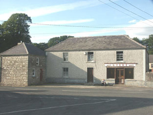 Byrnehouse · 481 yd
 IndicatedFairy fort / earthen ringfort · 533 yd
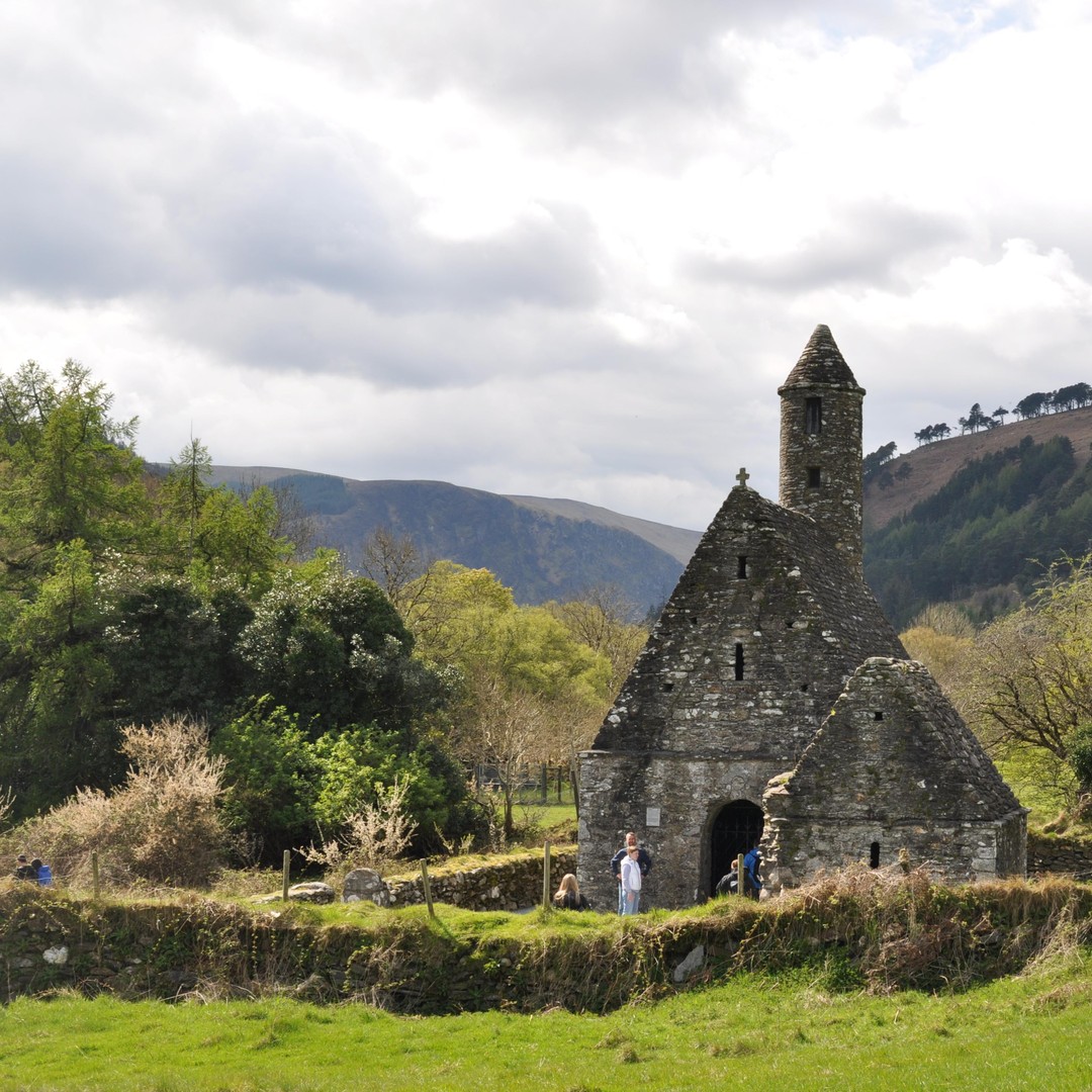 ToberowenHoly well · 551 yd
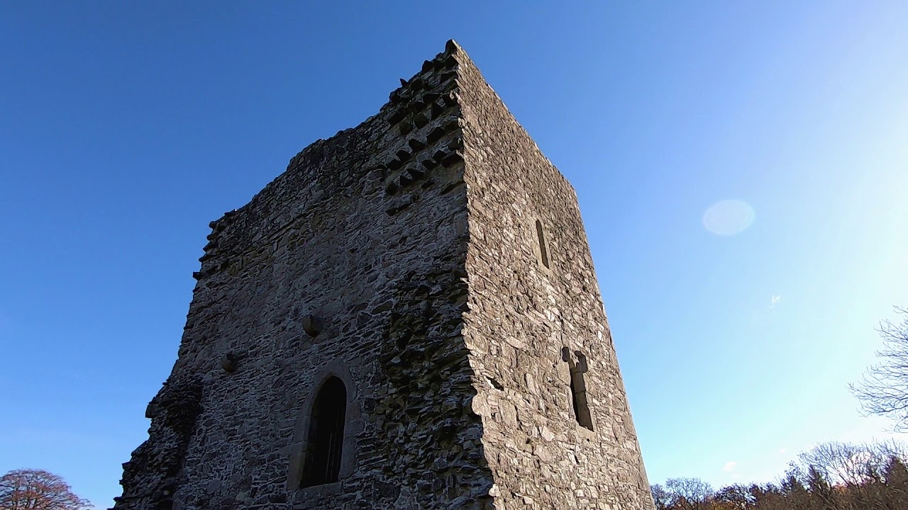 CastleCastle, motte · 818 yd
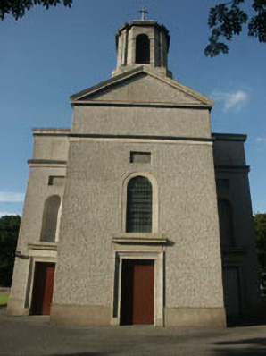 Saint Mary's Catholic Churchchurch/chapel · 836 yd
 Sessile OakSessile Oak · 1.6 mi
 SlievereaghMountain / peak · 2.2 mi
 Keadeen MountainMountain / peak · 2.8 mi
 Chapel (in ruins), GraveyardChurch · 2.9 mi
 Dwyer McAllister CottageMuseum · 3.3 mi
 European BeechEuropean Beech · 3.5 mi
 The Black StairsNamed rock · 3.8 mi