
What is recorded here
Situated on level ground with views to the S. Oval area (dims. 60m NE-SW; 50m NW-SE) defined by an earthen bank (Wth 2-3m; H 1.5-2m) with drystone wall-facing inside and out except at the W where an unfaced remnant of the bank survives. An external fosse is visible at the SE (Wth 2.5m; D 0.25m) with a further stretch noted at the E (D c. 2m) during recent drainage. There are four gaps in the bank; that at the S (Wth 1.2m) may be original. The interior is level with recent farm buildings occupying the E half of the interior.
The above description is derived from the published 'Archaeological Inventory of County Wicklow' (Dublin: Stationery Office, 1997). In certain instances the entries have been revised and updated in the light of recent research.
Date of upload/revision: 17 December 2008
A local fairy fort (ringfort/rath); wider significance not recorded.
The monument record does not grant public access. Check the route and ask the landowner before entering private land.
- What survives
- Recorded monument
Places near here
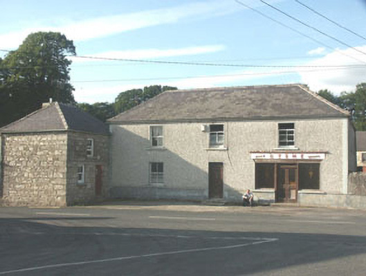 Byrnehouse · 951 yd
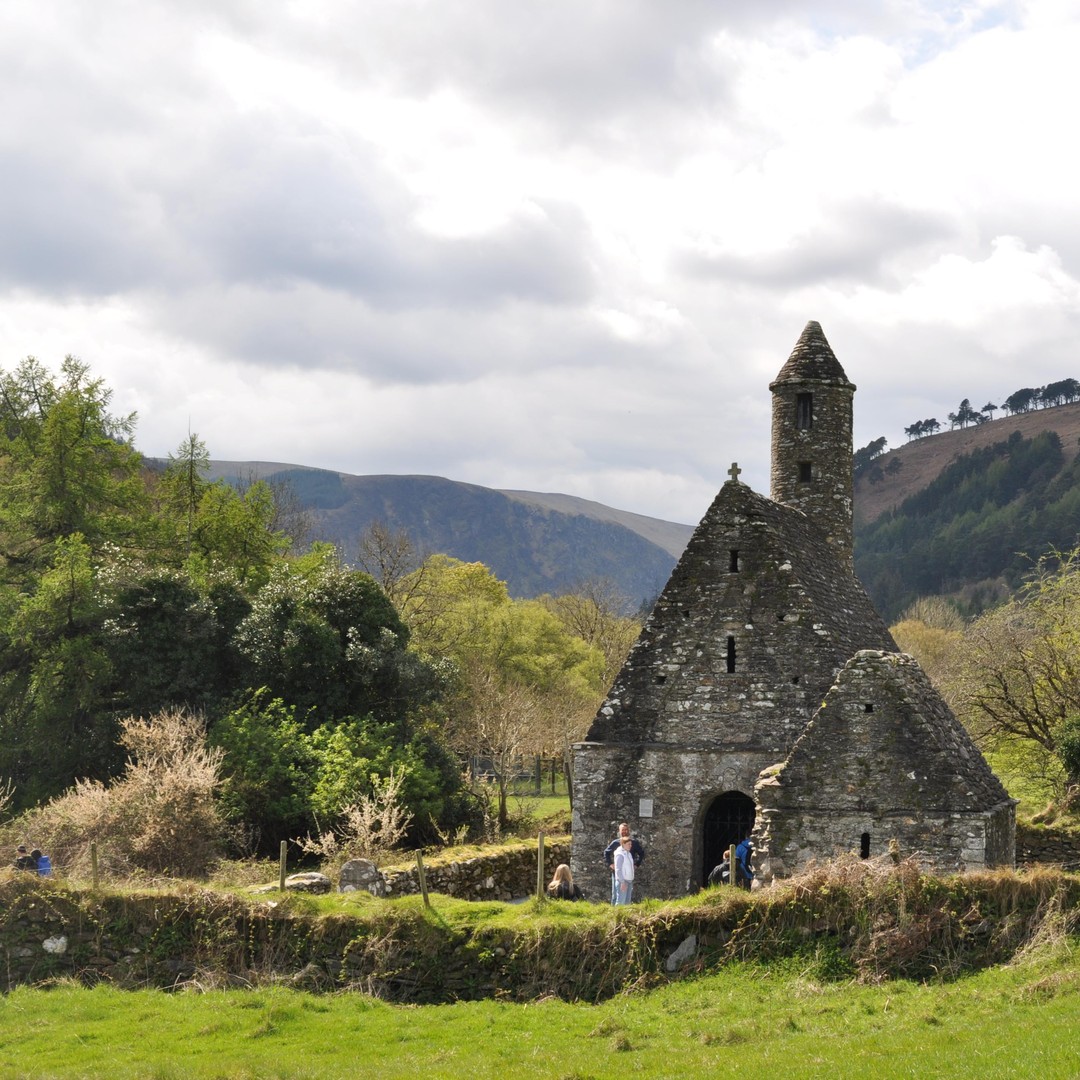 ToberowenHoly well · 975 yd
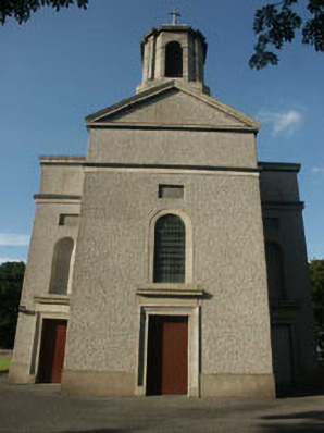 Saint Mary's Catholic Churchchurch/chapel · 1075 yd
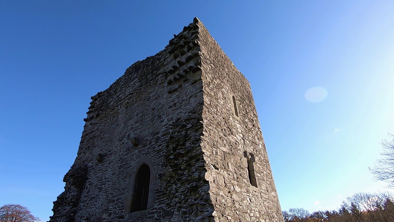 CastleCastle, motte · 1103 yd
 Enclosure in DrimEnclosure · 1210 yd
 Sessile OakSessile Oak · 1.8 mi
 SlievereaghMountain / peak · 2.3 mi
 Keadeen MountainMountain / peak · 3.1 mi
 Chapel (in ruins), GraveyardChurch · 3.2 mi
 Dwyer McAllister CottageMuseum · 3.4 mi
 The Black StairsNamed rock · 3.7 mi
 European BeechEuropean Beech · 3.8 mi
Other information
Photo: Credit not shown in the picture search · Rights wording not checked; contact us if this picture should be removed