What is recorded here
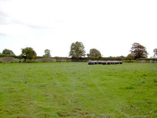
Fairy fort in Parkplace, County Longford: circular cropmark about 38m across, enclosed by an earthen bank, still visible from above. East of it, faint lines suggest a pre-1700 field system, and a small circular mark may be the remains of an O.S. Trig Station. The fort stands out because the land still holds its shape, while the fields and survey point around it have faded into suggestion.
Cropmark of circular shaped area (approx. diam. 38m) enclosed by an earthen bank is clearly visible on Digital Globe aerial photograph. Linear features or cropmarks in area to E of monument may be the remains of a pre-1700 field system. Small circular cropmark immediately E appears to be remains of O.S. Trig Station depicted on the OS 6-inch map.
Compiled by: Caimin O'Brien based on details provided by Ed O'Donovan
Date of upload: 05 June 2019
The monument record does not grant public access. Check the route and ask the landowner before entering private land.
- What survives
- Recorded monument
Places near here
 IndicatedFairy fort / earthen ringfort · 195 yd
 Park Placewalled garden · 264 yd
 DoonphilipCastle, motte · 952 yd
 Church (in Ruins)Church · 968 yd
 Mornin Castle (in Ruins)Castle, tower house · 1018 yd
 Kilbally Holy WellHoly well · 1678 yd
 Newcastle WoodsForest · 3.2 mi
 National Famine WayWalking route · 3.2 mi
 Target WoodWood · 3.4 mi
 Craft WorkshopHeritage attraction · 4.0 mi
 Guest ServicesVisitor information · 4.0 mi
 Corlea Bog Walk Canal BranchWalking route · 4.5 mi