What is recorded here
No fort remains in Gorteenfadda, though a circular enclosure once stood at the crossing of four field boundaries. It has vanished into the grassland, leaving behind a shape remembered rather than a wall touched. That absence makes the place more alive, because the border still marks the spot where human hands shaped the land before forgetting erased the result.
In grassland. Marked on 1st ed. of OS 6-inch map as a circular enclosure (D c. 30m) at the junction of four field boundaries. No visible surface trace survives.
The above description is derived from the published 'Archaeological Inventory of County Galway Vol. II - North Galway'. Compiled by Olive Alcock, Kathy de hÓra and Paul Gosling (Dublin: Stationery Office, 1999).
Date of upload: 05 August 2010
The monument record does not grant public access. Check the route and ask the landowner before entering private land.
- What survives
- Recorded monument
Places near here
 Mount MaryMountain / peak · 1256 yd
 Friars WellHoly well · 1314 yd
 Enclosure in MillfordEnclosure · 1.2 mi
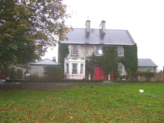 Creggs Househouse · 1.4 mi
 Creggs Presbyterian Churchchurch/chapel · 1.4 mi
 Sally IslandIslet · 2.7 mi
 Castle KellyCastle, tower house · 3.5 mi
 Aughrane WoodsForest · 3.5 mi
 CastleCastle, unclassified · 4.2 mi
 European ashEuropean ash · 4.7 mi
 Site of Killomaine Grave YardArchaeological place · 5.7 mi
 Inch IslandIsland · 9.9 mi