
What is recorded here
In pastureland on NW-facing slope of Mount Mary. Marked on 3rd ed. of OS 6-inch map (1931). No visible surface trace survives.
The above description is derived from the published 'Archaeological Inventory of County Galway Vol. II - North Galway'. Compiled by Olive Alcock, Kathy de hÓra and Paul Gosling (Dublin: Stationery Office, 1999).
Date of upload: 05 August 2010
Linked to Saint Mary, the well was traditionally visited for healing and protection, particularly for ailments of the eyes and livestock. Though no physical structure remains, local folklore recalls the site as sacred, with historical associations to early Christian pilgrimage practices in the region.
The monument record does not grant public access. Check the route and ask the landowner before entering private land.
- What survives
- Recorded monument
Places near here
 Mount MaryMountain / peak · 890 yd
 Enclosure in MillfordEnclosure · 1.8 mi
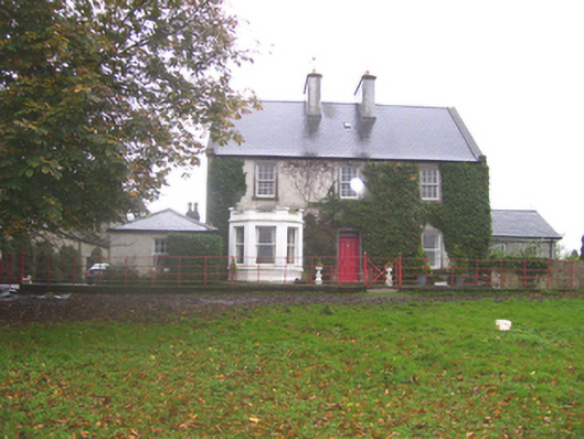 Creggs Househouse · 2.1 mi
 Creggs Presbyterian Churchchurch/chapel · 2.2 mi
 Site of Abbey GreyEcclesiastical site · 2.3 mi
 Sally IslandIslet · 3.2 mi
 Aughrane WoodsForest · 3.6 mi
 Castle KellyCastle, tower house · 3.6 mi
 Site of Ballygar CastleArchaeological place · 4.4 mi
 European ashEuropean ash · 5.4 mi
 Site of Killomaine Grave YardArchaeological place · 5.9 mi
 Inch IslandIsland · 9.8 mi
Other information
Photo: Credit not shown in the picture search · Rights wording not checked; contact us if this picture should be removed