What is recorded here
Situated on a gentle NNE-facing slope, in pasture, with good views from W-N. Annotated 'Fort' on 1837 ed. OS Fair Plan Map. Levelled monument described in 1971 as an oval-shaped area (dims. 30m ENE-WSW; 19m NNW-SSE) defined by a light green band (Wth 2.5m) of vegetation which probably represents a backfilled fosse. The interior has a gentle NNE-facing slope and there is no visible trace of an entrance. Outlined of levelled monument is visible today on Digital Globe aerial photographs.
Compiled by Alison McQueen, Vera Rahilly and Caimin O’Brien.
Date of upload: 24 July 2019
This remains an important historical record, but the official description says the monument is no longer visible or has been destroyed. The monument record does not grant public access. Check the route and ask the landowner before entering private land.
- What survives
- No visible remains or recorded as destroyed
Places near here
 CastleCastle, unclassified · 667 yd
 Enclosure in DunnamonaEnclosure · 855 yd
 Ardnagragh CastleCastle, tower house · 1242 yd
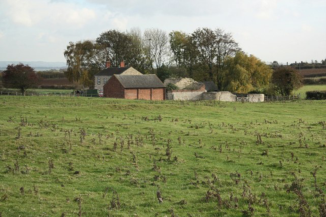 Settlement desertedSettlement deserted, medieval · 1629 yd
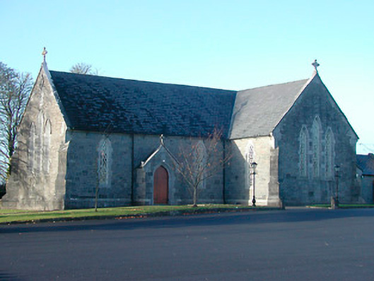 Catholic Church of the Immaculate Conceptionchurch/chapel · 1.3 mi
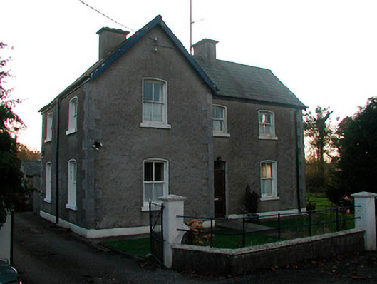 school master's houseschool master's house · 1.5 mi
 Noughaval CemeteryArchaeological place · 2.3 mi
 European BeechEuropean Beech · 3.8 mi
 Killinure BayBay · 5.0 mi
 Temple's IslandIslet · 5.2 mi
 Guest ServicesVisitor information · 5.5 mi
 Craft WorkshopHeritage attraction · 5.5 mi