What is recorded here
Situated on top of a steep natural rise, in gently undulating pasture and tillage. Ringfort (WM023-072----) lies c. 120m to S. Depicted as a circular-shaped enclosure on 1837 OS Fair Plan map. Levelled monument described in 1971 as no surface remains visible. Monument appears to have been levelled during land reclamation in the early 1970s.
Compiled by Alison McQueen, Vera Rahilly and Caimin O’Brien.
Date of upload: 29 July 2019
The monument record does not grant public access. Check the route and ask the landowner before entering private land.
- What survives
- Recorded monument
Places near here
 OutlinedEnclosure · 673 yd
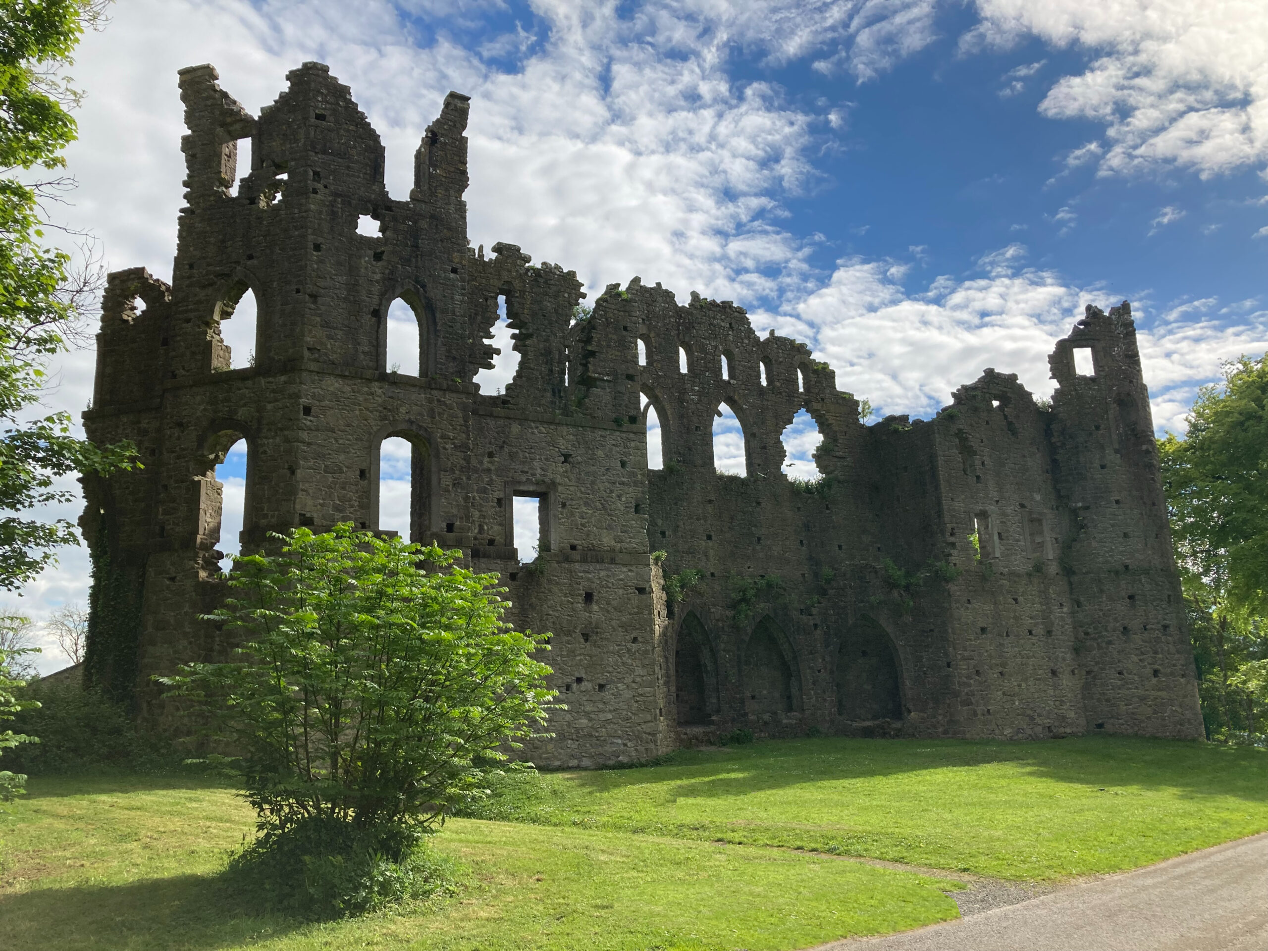 Sterns Folly, The BreenCastle, ringwork · 1004 yd
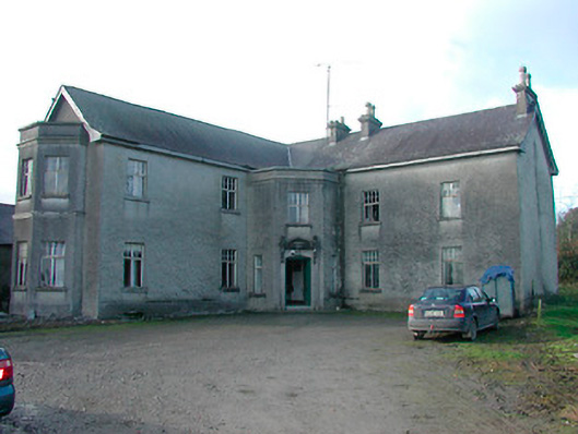 Lissanode Househouse · 1382 yd
 Site of Lissanode CastleCastle, unclassified · 1407 yd
 Killininneen Househouse · 1554 yd
 Partially hachuredFairy fort / ringfort · 1603 yd
 Dún na Sí Heritage CentreMuseum · 3.8 mi
 Dún na SíMuseum · 3.8 mi
 Charles BianconiMemorial · 4.4 mi
 Moate HillMountain / peak · 4.6 mi
 Noughaval CemeteryArchaeological place · 4.8 mi