What is recorded here
Outline of circular-shaped enclosure (approx. diam. 34m) visible on Google earth aerial imagery and Digital Globe aerial photos.
See attached image taken from Google Earth aerial photographs taken 20/11/2005
Compiled by: Caimin O'Brien based on details provided by Jean-Charles Caillère
Date of upload: 6 March 2020
The monument record does not grant public access. Check the route and ask the landowner before entering private land.
- What survives
- Recorded monument
Places near here
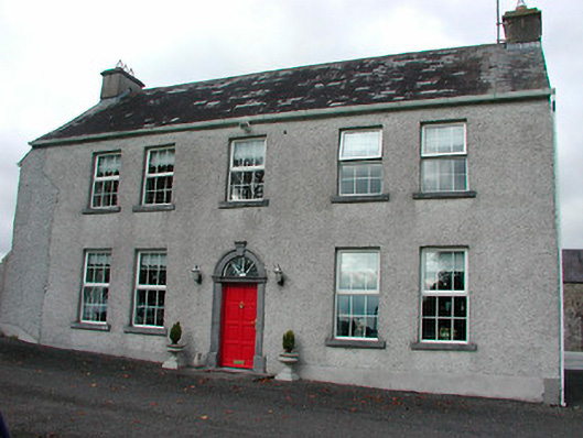 Tyrrellstown Housefarm house, outbuilding · 324 yd
 Castle in RuinsCastle, tower house · 325 yd
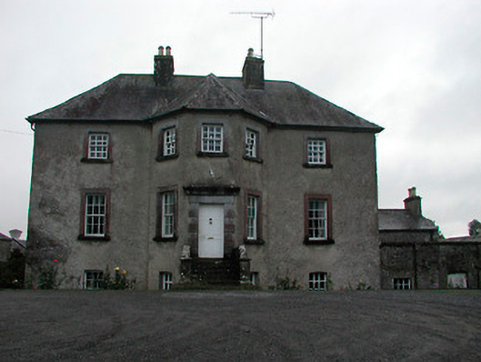 Anneville Housecountry house · 665 yd
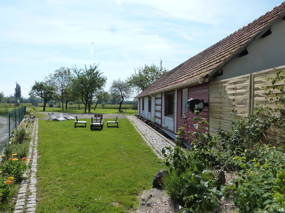 Enclosure in Anneville or RathduffEnclosure · 823 yd
 OutlinedFairy fort / earthen ringfort · 891 yd
 Bawn in Simonstown (fartullagh By.)Bawn · 1454 yd
 Mollie Moo's Pet FarmHeritage attraction · 1.5 mi
 Belvedere house and gardensVisitor information · 1.6 mi
 Dysart IslandIsland · 3.3 mi
 Ash IslandIslet · 3.4 mi
 United Nations War MemorialMemorial · 4.9 mi
 GinkgoGinkgo · 10 mi