What is recorded here
No relevant historical facts were provided for the named place.
On the W end of a ridge in pastureland. Poorly preserved circular rath (diam. 30m) defined by a scarp and external fosse. The scarp is visible from NW through E to SW and the fosse survives from NNE through E to S. The townland boundary wall cuts through the monument at SW and NW and no visible surface trace of the enclosing elements survives to the W of it. There is a causewayed gap (Wth 4.2m) at E. An enclosure (GA108-052----) lies c. 80m to the E.
Compiled by: Galway Archaeological Survey, UCG
Date of upload: 8 December 2017
The monument record does not grant public access. Check the route and ask the landowner before entering private land.
- What survives
- Recorded monument
Places near here
 Enclosure in Derry (longford By.)Enclosure · 82 yd
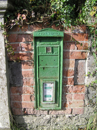 post boxpost box · 426 yd
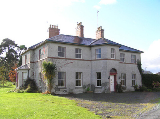 Tullyhouse · 568 yd
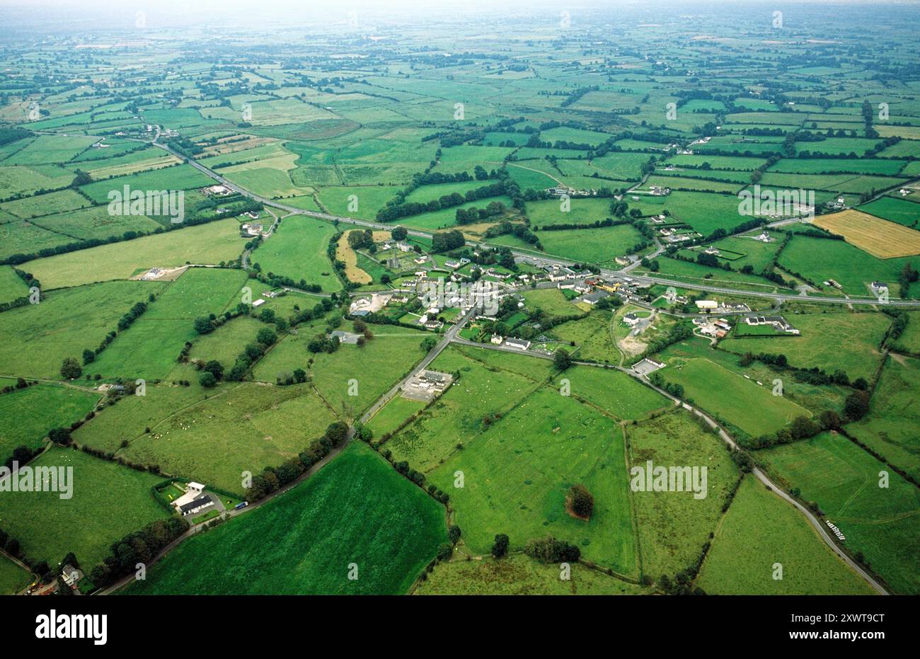 ToberrosHoly well · 1575 yd
 Redmond HillMountain / peak · 2.3 mi
 Longford Castle (in ruins)Castle, unclassified · 2.5 mi
 Lismore CastleCastle, tower house · 2.7 mi
 Ballymacegan IslandIsland · 2.9 mi
 Friars IslandIsland · 3.0 mi
 Silver FirSilver Fir · 3.1 mi
 MeelickVisitor information · 3.3 mi
 European ashEuropean ash · 4.0 mi