
What is recorded here
Some 80m to the E of a rath (GA108-051----). Known locally as 'Fairy Hill', this enclosure (18.7m E-W; 16.8m N-S), which is densely overgrown with trees and bramble, is defined by two banks and an intervening fosse. The inner bank appears to be rectangular in plan while the outer bank appears to be more subcircular in outline.
Compiled by: Galway Archaeological Survey, UCG
Date of upload: 8 December 2017
The monument record does not grant public access. Check the route and ask the landowner before entering private land.
- What survives
- Recorded monument
Places near here
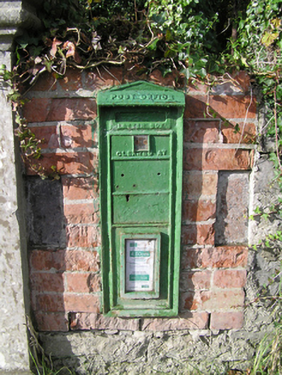 post boxpost box · 464 yd
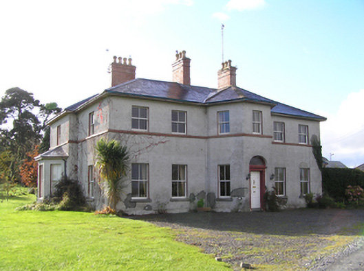 Tullyhouse · 620 yd
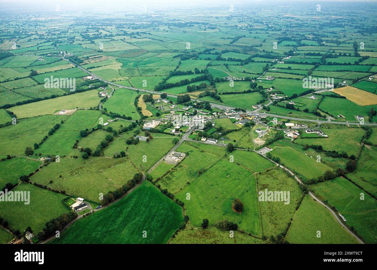 ToberrosHoly well · 1573 yd
 KnockaunnabastyArchaeological place · 1.1 mi
 Redmond HillMountain / peak · 2.3 mi
 Longford Castle (in ruins)Castle, unclassified · 2.6 mi
 Lismore CastleCastle, tower house · 2.7 mi
 Ballymacegan IslandIsland · 2.9 mi
 Friars IslandIsland · 3.0 mi
 Silver FirSilver Fir · 3.1 mi
 MeelickVisitor information · 3.2 mi
 European ashEuropean ash · 4.0 mi
Other information
Photo: Credit not shown in the picture search · Rights wording not checked; contact us if this picture should be removed