What is recorded here
Described in 1977, as a poorly preserved ringfort situated on a small hillock, with good views to the SW. The site has been largely destroyed and consists of a roughly oval-shaped area (diam. c. 36m N-S; 30m E-W) enclosed by a poorly preserved earth and stone bank only visible from the NE-E-SE where it is incorporated into a modern field fence that acts as the townland boundary. There are traces of a possible shallow outer fosse with an external earth and stone bank which are both difficult to identify due to livestock poaching and dense cover of vegetation at time of inspection. The inner bank is quite substantial where it survives with evidence of internal facing consisting of large boulders set on edge. The external face of the bank has a relatively modern drystone wall built against it. The interior is uneven and slopes slightly from W to E. No visible entrance feature.
Compiled by: Caimin O’Brien
Date of upload: 28 March 2013
The monument record does not grant public access. Check the route and ask the landowner before entering private land.
- What survives
- Recorded monument
Places near here
 Partially hachuredFairy fort / earthen ringfort · 542 yd
 Killalea FortCastle, motte · 999 yd
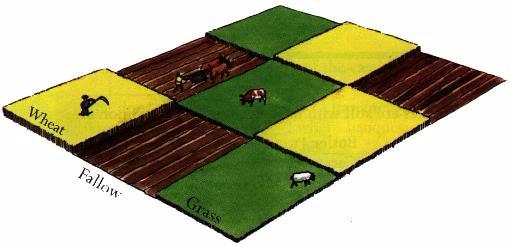 Field system in BallinlabanField system · 1523 yd
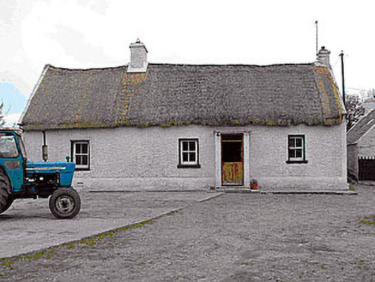 farm housefarm house · 1545 yd
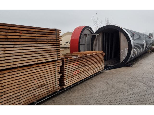 KilnKiln, corn-drying · 1546 yd
 CastleCastle, motte · 1.2 mi
 Kilmalady HillMountain / peak · 3.8 mi
 Bonfire HillMountain / peak · 4.5 mi
 Ardan WoodWood · 4.8 mi
 Chapel HillForest · 5.6 mi
 Clara Bog BoardwalkHeritage attraction · 7.4 mi
 Charles BianconiMemorial · 8.4 mi