
What is recorded here
Described in 1977 as ringfort situated on a rise of ground in good pasture land with good views in all directions. The site consists of a roughly circular area (diam. C. 27m N-S; 34m E-W) defined by a defaced earth and stone scarp. Traces of a bank are visible running along the edge of the scarp in places and possible stone footings can be seen from W to NW edge of the scarp. A modern field fence running N-S has defaced the external face of the bank on the E side. A second field fence running E-W has defaced the external face of the bank on the S side. Field clearance debris has been dumped along the perimeter of the monument on the N and NE. Faint traces of an external fosse are visible only at NNE but it is impossible to be certain due to the field clearance debris. No entrance feature visible. The interior is heavily overgrown with thorn trees. The ground rises irregularly from the perimeter to the centre of the interior.
Compiled by: Caimin O’Brien
Date of upload: 11 March 2013
The monument record does not grant public access. Check the route and ask the landowner before entering private land.
- What survives
- Recorded monument
Places near here
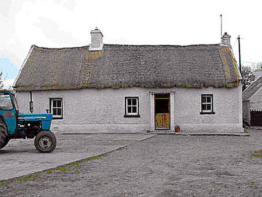 farm housefarm house · 1033 yd
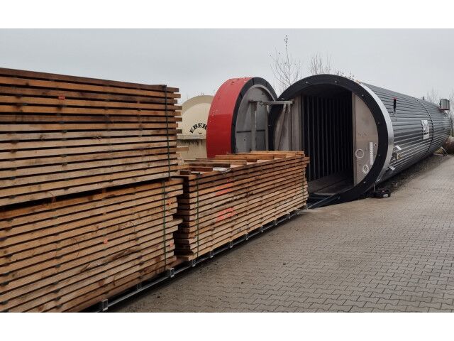 KilnKiln, corn-drying · 1072 yd
 Killalea FortCastle, motte · 1122 yd
 CastleCastle, motte · 1.1 mi
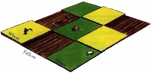 Field system in BallinlabanField system · 1.2 mi
 Enclosure in TullaghnacrossanEnclosure · 1.2 mi
 Kilmalady HillMountain / peak · 4.1 mi
 Bonfire HillMountain / peak · 4.5 mi
 Ardan WoodWood · 4.8 mi
 Chapel HillForest · 5.9 mi
 Clara Bog BoardwalkHeritage attraction · 7.7 mi
 Inchaloon IslandIslet · 8.5 mi
Other information
Photo: Credit not shown in the picture search · Rights wording not checked; contact us if this picture should be removed