What is recorded here
Fairy fort / earthen ringfort in Treanamarly is a fairy fort or earthen ringfort in Treanamarly, County Roscommon, Ireland. It occupies the top of an east-facing slope at the eastern end of a drumlin ridge, forming a D-shaped grass and rush-covered area measuring 28.8 metres north-south and 18.4 metres east-west. A rush-filled fosse 1.8 to 3 metres wide borders the southern and northern sides, while a 0.4-metre scarp marks the straight eastern edge. Another rath lies about 30 metres to the west.
Towards the top of the E-facing slope at the E end of an E-W drumlin ridge. D-shaped grass and rush-covered area (dims 28.8m N-S; 18.4m E-W) which slopes down to the E (H 1.5m) defined by a rush-filled fosse (Wth 1.8-3m) S-N, and a scarp (H 0.4m) on the straight E side. Rath (RO010-125001-) is c. 30m to the W.
Compiled by: Michael Moore
Date of upload: 24 August 2010
The monument record does not grant public access. Check the route and ask the landowner before entering private land.
- What survives
- Recorded monument
Places near here
 Enclosure in CarrigeencarraghEnclosure · 1014 yd
 Enclosure in Carrowkeel (boyle By.)Enclosure · 1.4 mi
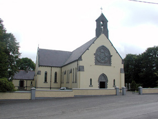 Saint Attracta's Catholic Churchchurch/chapel · 1.5 mi
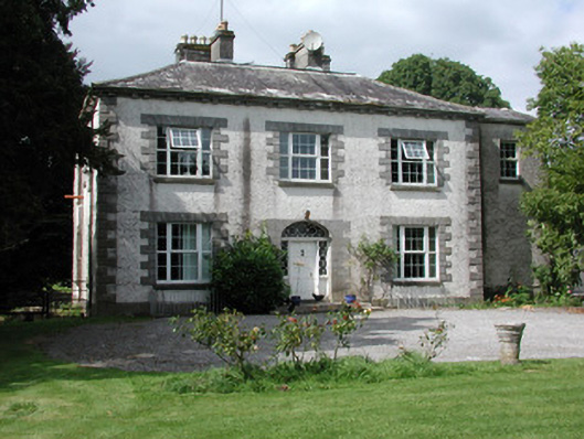 Moylurg Housecountry house · 2.1 mi
 Moylung Castle (in ruins)Castle, unclassified · 2.4 mi
 Castle (Site of)Castle, unclassified · 3.9 mi
 King William MemorialMonument · 4.2 mi
 Boyle AbbeyHeritage attraction · 4.2 mi
 Lough Key Forest ParkWood · 4.8 mi
 Erris BayBay · 4.9 mi
 Horse-chestnutHorse-chestnut · 5.2 mi
 Western RedcedarWestern Redcedar · 5.2 mi