
What is recorded here
In level, rough grazing c. 40m N of a small, NW-flowing stream. Reported by Jean-Charles Caillere. Visible on Google Earth aerial imagery (24-3-2017) as a small, circular enclosure (est. diam. c. 15m) defined by a narrow fosse (est. Wth c. 1.5m)
See attached image: RO010-136----_01 Google Earth aerial image (24-3-2017)
Compiled by: Gearóid Conroy
Date of upload: 1 February 2023
The monument record does not grant public access. Check the route and ask the landowner before entering private land.
- What survives
- Recorded monument
Places near here
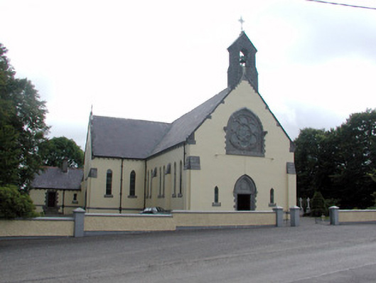 Saint Attracta's Catholic Churchchurch/chapel · 1.1 mi
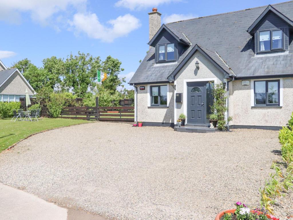 RathroeFairy fort / earthen ringfort · 1.4 mi
 Enclosure in Carrowkeel (boyle By.)Enclosure · 1.5 mi
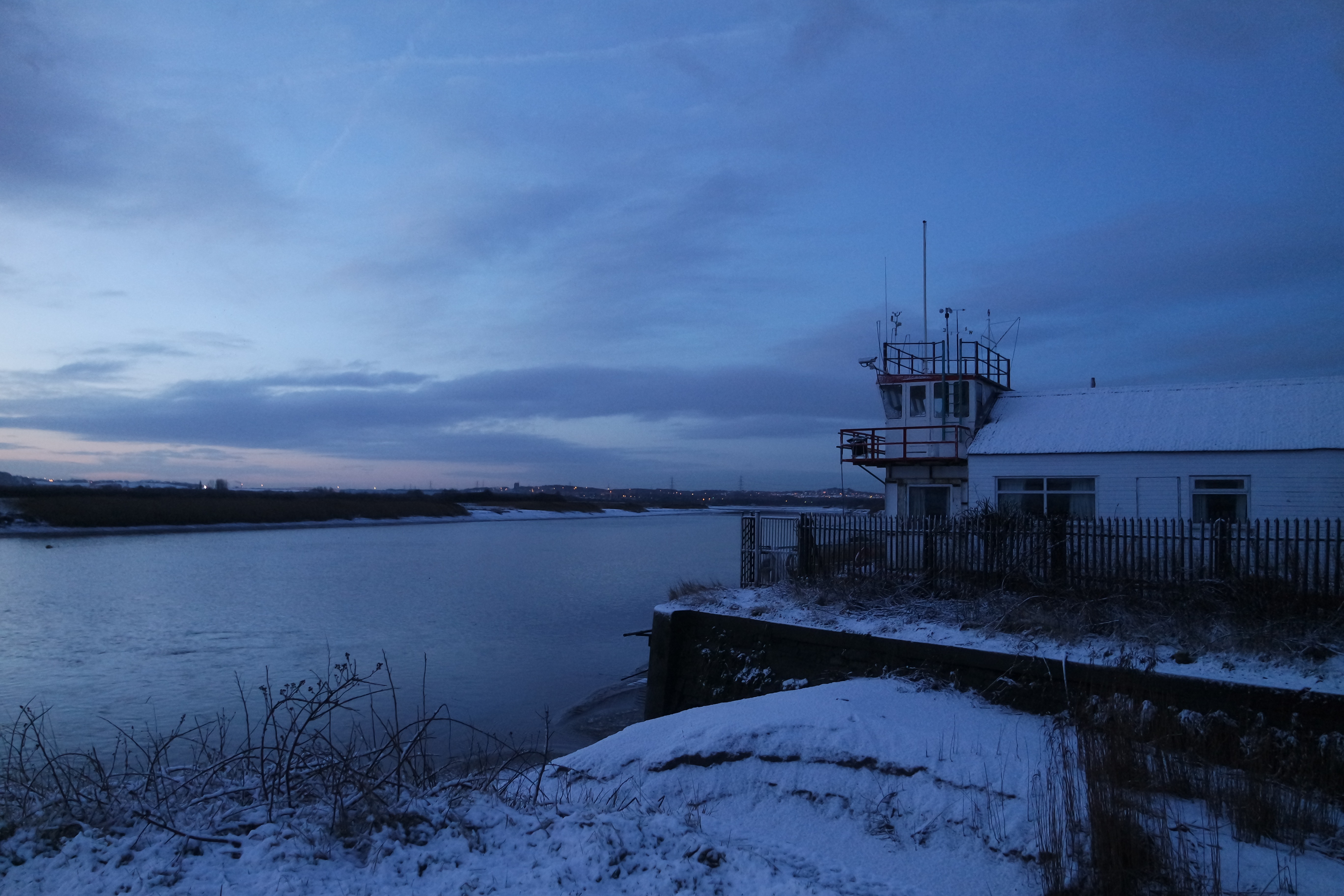 Fiddlers' FortRuins · 1.8 mi
 Moylung Castle (in ruins)Castle, unclassified · 2.8 mi
 Castle (Site of)Castle, unclassified · 3.7 mi
 King William MemorialMonument · 4.7 mi
 Boyle AbbeyHeritage attraction · 4.8 mi
 War of Independence Commemorative Military MemorialMemorial · 5.1 mi
 Gray's WoodForest · 5.2 mi
 Square WoodForest · 5.3 mi
 Bawn IslandIslet · 6.6 mi
Other information
Photo: Credit not shown in the picture search · Rights wording not checked; contact us if this picture should be removed