What is recorded here
Fairy fort / earthen ringfort in Toormore is a fairy fort or earthen ringfort in Toormore, County Roscommon, Ireland. Susan Curran first identified the circular grass-covered area during an M.A. thesis at University College Dublin using a LiDAR survey dataset commissioned by Leitrim County Council and the National Roads Authority. The monument sits towards the NE end of a broad NE-SW ridge and on a SSE-facing slope, with a small fold in the landscape opening to the N.
Located towards the NE end of a broad NE-SW ridge and on a SSE-facing slope, with a small fold in the landscape opening to the N. It was first identified by Susan Curran as part of an M.A. thesis with University College Dublin using a LiDAR survey dataset commissioned by Leitrim County Council and the National Roads Authority. This is a circular grass-covered area (diam. c. 40m) defined by an earthen bank (at NNW: Wth of base 11m; Wth of top 0.7m; int. H 0.25m; ext. H 2.8m) incorporating some natural slope externally NW-NE, which morphs into a low scarp (at S: Wth 3.8m; H 0.85m) NE-E-SW. The W side is a lower, straight scarp. There is no visible fosse or entrance. The monument is overlain by drystone walls that approach from WNW, NE, ESE and WSW and meet at two points in the interior, which divides the monument between four fields.
Compiled by: Michael Moore
Date of upload: 11 May, 2015
The monument record does not grant public access. Check the route and ask the landowner before entering private land.
- What survives
- Recorded monument
Places near here
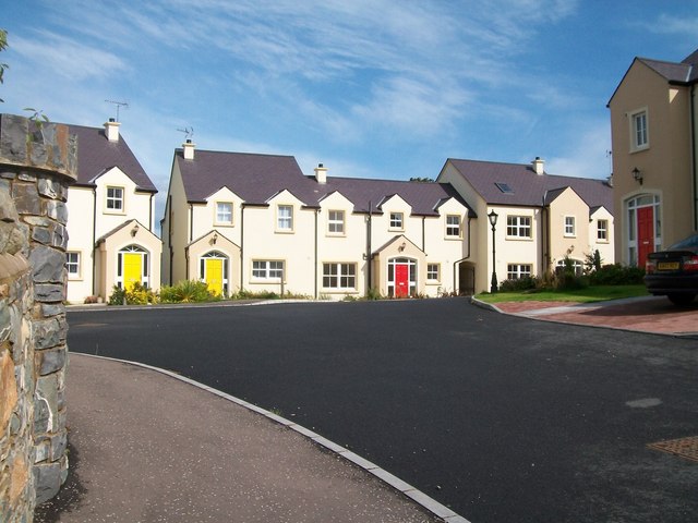 Embanked enclosureFairy fort / earthen ringfort · 712 yd
 Penal Mass station in MacnadillePenal Mass station · 764 yd
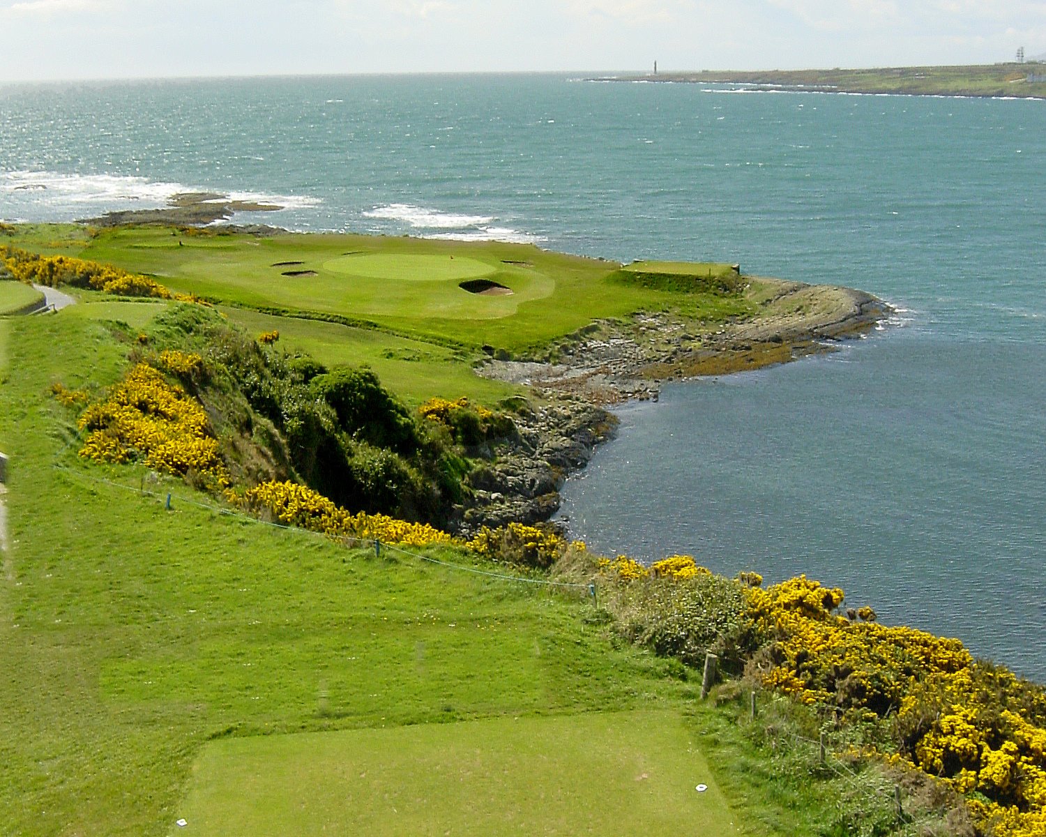 Embanked enlcosureFairy fort / earthen ringfort · 1140 yd
 Hughestown WoodForest · 1.8 mi
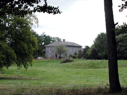 Glencarne Househouse · 2.0 mi
 Castle (Site of)Castle, unclassified · 2.7 mi
 Moylung Castle (in ruins)Castle, unclassified · 2.9 mi
 Moon RiverHeritage attraction · 3.0 mi
 Horse-chestnutHorse-chestnut · 4.3 mi
 Trinity IslandIslet · 5.0 mi
 Bingham IslandIslet · 5.3 mi
 Battle of Áth an Chipbattle · 5.4 mi