What is recorded here
Described in 1977, a ringfort situated on a low rise of ground with extensive views to the SE and S, with a high ridge to the W. Site consists of an oval-shaped area (diam. 24m NE-SW; c.28m NW-SE) defined by a scarp with no indication of an enclosing bank or fosse. A modern field wall and hedge running NE-SW across the N quadrant of the ringfort represents the townland boundary. There is no indication of an entrance feature. The interior is slightly uneven and slopes slightly upwards to the centre. There is a lot of stone visible just on the surface and some of this seems to be just rock outcrops and the remainder could be the remains of field clearance debris. Depicted as a large oval shaped ringfort on the 1st edition of the OS 6-inch map, with townland boundary aligned NNE-SSW running across the NW quadrant of the interior. A small quarry immediately to the N of the ringfort is depicted on this edition of the OS 6-inch map. A road running E-W intersects the S side of the monument.
Compiled by: Caimin O’Brien
Date of upload: 28 March 2013
The monument record does not grant public access. Check the route and ask the landowner before entering private land.
- What survives
- Recorded monument
Places near here
 Partially hachuredFairy fort / earthen ringfort · 537 yd
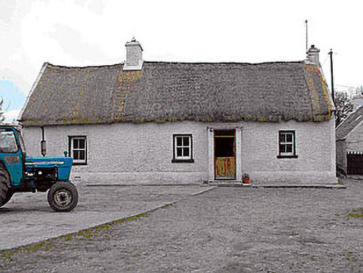 farm housefarm house · 1457 yd
 Killalea FortCastle, motte · 1536 yd
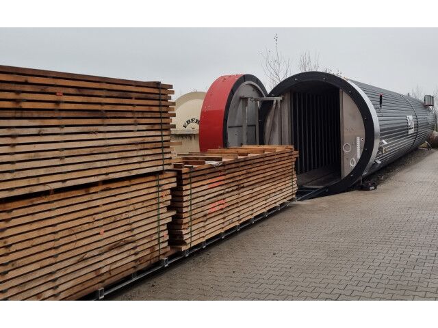 KilnKiln, corn-drying · 1546 yd
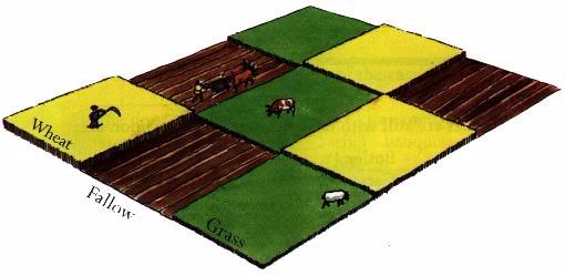 Field system in BallinlabanField system · 1.1 mi
 Balrath CastleCastle · 1.3 mi
 Kilmalady HillMountain / peak · 4.0 mi
 Bonfire HillMountain / peak · 4.2 mi
 Ardan WoodWood · 4.5 mi
 Chapel HillForest · 5.8 mi
 Clara Bog BoardwalkHeritage attraction · 7.5 mi
 Inchaloon IslandIslet · 8.4 mi