What is recorded here
Toomaline Upper held a forty-metre oval fort on a low rise, watching the pasture in every direction until human hands flattened its ancient bones. The earth swallowed the scarp, fosse and bank, erasing the shadow where people once lived. Only faint crop marks and radiating field lines remain to hint at the shape of what vanished.
On top of a low rise, in pasture, with moderate views in all directions. Depicted on the OS 25-inch map as a raised roughly oval-shaped area (approx. dims. 40m N-S x 27m E-W) defined by a scarp with fosse and external bank, field boundaries radiate out from SW, NW and NE. Levelled monument visited by the ASI in 1999 and described as no surface remains visible. According to local information, this monument was removed in the 1980s, although it had been known locally as a ‘fort’ (SMR File). Partially levelled monument visible as an oval shaped area defined by a cropmark from NW-N-E-S-SW and incorporated into the field boundary from SW-W-NW on Digital Globe orthophotos taken 2011-13 and on Google Earth orthoimages taken 20/01/2020.
See attached Google Earth orthoimages
Compiled by: Alison McQueen and Vera Rahilly
Date of upload: 13 July 2020
The monument record does not grant public access. Check the route and ask the landowner before entering private land.
- What survives
- Recorded monument
Places near here
 Toomalinehouse · 552 yd
 Partially hachuredFairy fort / earthen ringfort · 781 yd
 BarrowBarrow, stepped barrow · 1240 yd
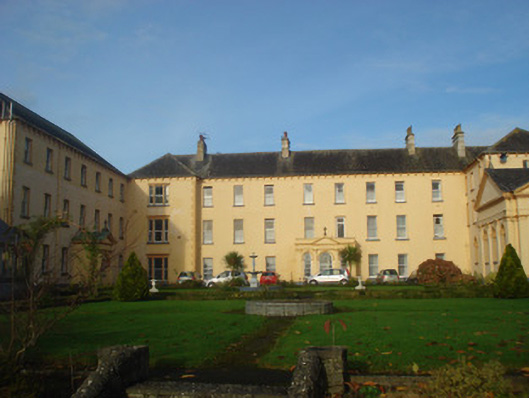 Convent of Mercyconvent/nunnery, country house · 1.1 mi
 Site of CastleCastle, unclassified · 1.6 mi
 GortnageraghMountain / peak · 1.7 mi
 Coonagh CastleCastle · 1.9 mi
 Green Field ParkWood · 3.6 mi
 Oola HillMountain / peak · 4.9 mi
 ToberagaddySpring · 5.1 mi
 Slieve Felim WayWalking route · 6.5 mi
 Graveyard in AbingtonGraveyard · 8.7 mi