What is recorded here
On top of a low rise (343ft/105m OD), in pasture, with excellent views from SW-W-NW. Depicted as a raised circular shaped are enclosed by a wide berm on the 1840 ed. OS 6-inch map. An OS trig. station marking 345 ft. OD is shown standing on N side of enclosure on Cassini 6-inch map. Monument surveyed by the ASI in 1999 and described as a raised circular-shaped area (33m E-W; 31m N-S) defined by a scarp, berm and the remains of a low outer bank with entrance gap (Wth 5m) at E and a corresponding entrance gap (Wth 2m) in the outer bank. The intervening berm is level and present from NW-N-E-S-SW and a steep natural slope falls from the outer edge of the monument from SW-W-NW. The outer edge of the berm is defined by a low earthen bank from NNE-E-SE and by a scarp from SE-S-SW. The interior is slightly dome-shaped. Monument is visible as a circular-shaped, tree-planted enclosure on Digital Globe orthophotos taken 2011-13 and on Google Earth orthoimages taken 18/11/2018. See attached Google Earth orthoimage
Compiled by: Alison McQueen and Vera Rahilly
Date of upload: 12 July 2020
On top of a low rise (343ft/105m OD), in pasture, with excellent views from SW-W-NW. Depicted as a raised circular shaped are enclosed by a wide berm on the 1840 ed. OS 6-inch map. An OS trig. station marking 345 ft. OD is shown standing on N side of enclosure on Cassini 6-inch map. Monument surveyed by the ASI in 1999 and described as a raised circular-shaped area (33m E-W; 31m N-S) defined by a scarp, berm and…
From the National Monuments Service (Archaeological Survey of Ireland) record LI016-013
The monument record does not grant public access. Check the route and ask the landowner before entering private land.
- What survives
- Recorded monument
Places near here
Photo credits
- National Inventory of Architectural Heritage
- Mike Searle, Wikimedia Commons · CC BY-SA 2.0
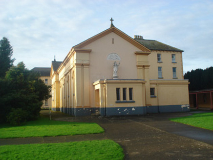 Convent of MercyChurch/chapel · 866 yd
 Convent of MercyConvent/nunnery, country house · 894 ydChurch (Site of)Church · 911 yd
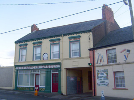 N. RainsfordShop/retail outlet · 926 yd
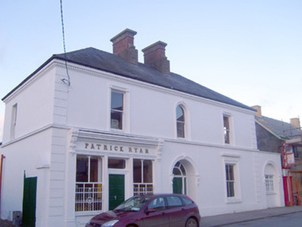 Patrick RyanHouse · 931 yd
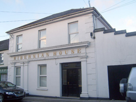 Hibernian HouseHouse · 968 ydToberfantanHoly well · 1252 yd
 Coonagh CastleCastle · 1.4 miGortnageraghMountain / peak · 2.0 miGreen Field ParkWood · 4.2 miToberagaddySpring · 4.5 mi
 Kilduff CastleCastle · 4.5 mi
More archaeology and monuments in County Limerick · All of County Limerick
What do you know about this place?