What is recorded here
Located towards the top of the S-facing slope of a NNW-SSE drumlin ridge. This is an overgrown circular area (diam. 37m N-S; 35m E-W) that slopes down to the S defined by an overgrown earthen bank (at NNW: Wth 8m; int. H 1m; ext. H 1.2m; at NE: Wth 6.5m; int. H 1.2m; ext. H 1.2m) that is only visible SSW-N-SE, and an outer rounded fosse (at NNW: Wth of top 6.8m; ext. D 1m; at NE: Wth 6m; ext. D 1.5m). There is an entrance (Wth 1.7m) but no causeway at NE.
The above description is derived from the published 'Archaeological Inventory of County Monaghan' (Dublin: Stationery Office, 1986). In certain instances the entries have been revised and updated in the light of recent research.
Date of revision: 17 June 2017
The monument record does not grant public access. Check the route and ask the landowner before entering private land.
- What survives
- Recorded monument
Places near here
 Mentana Househouse · 767 yd
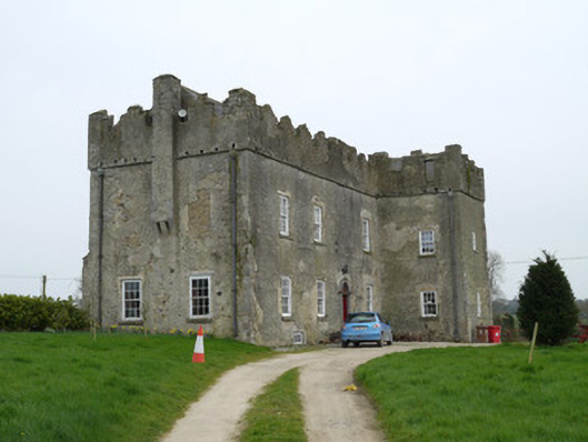 Maghernacloy Castlecastle/fortified house · 839 yd
 Man-made underground passage in Killark (farney By.)Man-made underground passage · 1236 yd
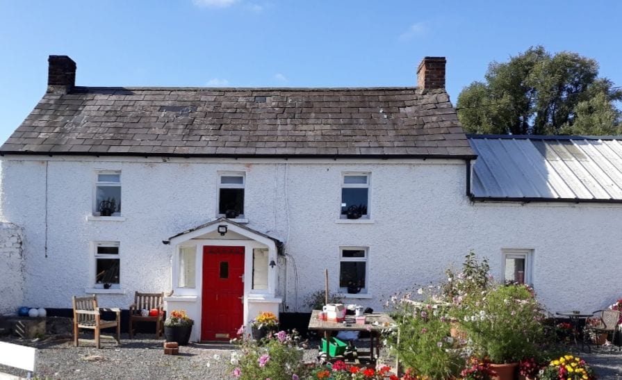 IndicatedCrannog · 1550 yd
 Lagan castleCastle, tower house · 1.7 mi
 Flat cemetery in AnnaheanFlat cemetery · 1.9 mi
 Tree IslandWood · 1.9 mi
 The MountCastle, motte and bailey · 2.5 mi
 BarleyhillMountain / peak · 2.7 mi
 Monkey-puzzleMonkey-puzzle · 2.9 mi
 Natural Play AreaMemorial · 3.8 mi
 CabraMountain / peak · 4.0 mi