What is recorded here
Fairy forts and earthen ringforts are familiar across Ireland. They are ancient human places, not fairy homes. In Toghernaross the earth has been levelled until only a kink in the field boundary remains. That small bend may be all that is left of a fort, a boundary marker, or a forgotten arrangement of fields. The land has changed, but the name and shape still point to something built there.
Marked 'Fort' on OS 1836 and 1876 eds. Situated on the W slope of a drumlin ridge. Almost completely levelled. All that now remains to indicate the presence of the site is a kink in the field boundary from W-NW-N. Otherwise nothing visible at ground level.
The above description is derived from the published 'Archaeological Inventory of County Cavan' (Dublin: Stationery Office, 1995). In certain instances the entries have been revised and updated in the light of recent research.
Date of upload/revision: 22 December 2008
The monument record does not grant public access. Check the route and ask the landowner before entering private land.
- What survives
- Recorded monument
Places near here
 IdicatedCastle, unclassified · 1.0 mi
 CartronfreeMountain / peak · 1.1 mi
 Enclosure in TullygullinEnclosure · 1.3 mi
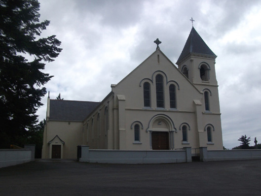 Our Lady of Lourdes Roman Catholic Churchchurch/chapel · 1.6 mi
 Moynagh Upper ForestForest · 1.7 mi
 Creevy Househouse · 1.8 mi
 BarrowBarrow, pond barrow · 1.8 mi
 CarrickabaneMountain / peak · 1.8 mi
 Carrick RockWood · 2.4 mi
 Sporting RockIslet · 3.1 mi
 Watty's RocksIslet · 3.2 mi
 Bakers FortCastle, ringwork · 3.8 mi