What is recorded here
Fairy fort in Tobermalug: a circular earthwork about forty metres across, partly levelled but still marked by a shallow ditch in wet pasture. It sits fifty metres south of the Cloghnadromin boundary and eighty-five metres east of a separate ringfort, as if two households had claimed neighbouring ground in the same ancient neighbourhood. The soil there holds water, so the place may have seemed fit for evasive fairies rather than ordinary tenants.
In poorly drained pasture, 50m S of the townland boundary with Cloghnadromin. Ringfort (LI014-036----) lies 85m to W. Cropmark of circular-shaped area (ext diam. c. 40m) defined by a fosse visible on OSi orthoimages and Google Earth orthophotos taken 2018. Linear features, possibly drainage channels associated with post-1700 land reclamation are visible to the S of the enclosure on the orthoimages. Faint cropmark of levelled monument visible on Google Earth orthoimage taken 28/06/2018.
See attached Google earth orthoimages taken 28/06/2018 and 06/02/2018
Compiled by: Fiona Rooney
Date of upload: 7 July 2020
The monument record does not grant public access. Check the route and ask the landowner before entering private land.
- What survives
- Recorded monument
Places near here
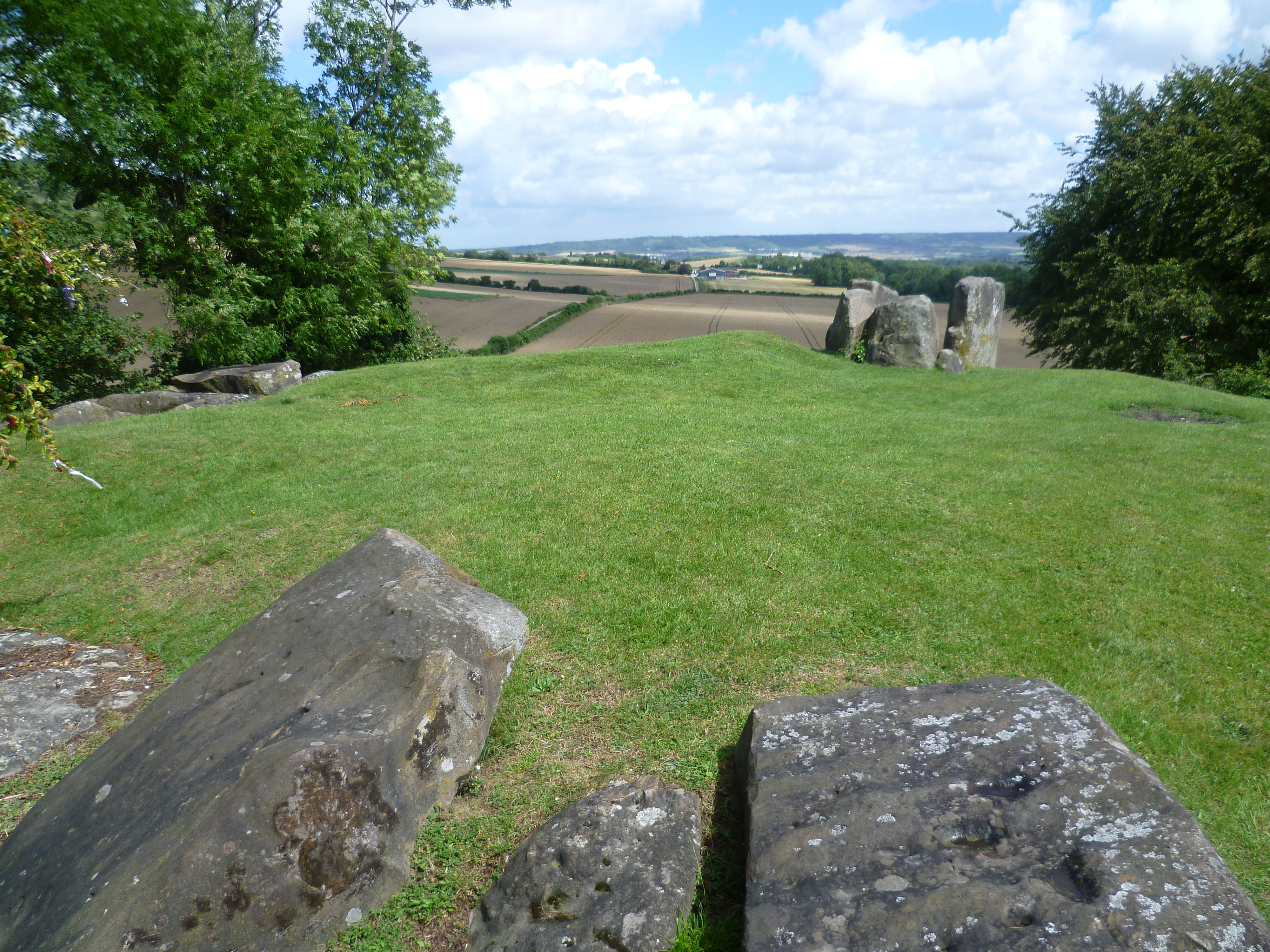 BarrowBarrow, ring-barrow · 624 yd
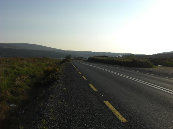 RoadRoad, road/trackway · 1222 yd
 An Tobarhouse · 1528 yd
 Enclosure in CloghnadrominEnclosure · 1582 yd
 CastleCastle, unclassified · 1620 yd
 Bawn in CarrigarreelyBawn · 1654 yd
 St Lawrence's WellSpring · 2.0 mi
 Wych ElmWych Elm · 2.2 mi
 Graveyard in AbingtonGraveyard · 2.7 mi
 Sliev Felim WayVisitor information · 4.1 mi
 Skool HillMountain / peak · 5.3 mi
 Banoge's WellSpring · 5.3 mi