What is recorded here
Fairy fort / earthen ringfort in Tobermalug stands on a gentle SE facing slope in County Limerick, Ireland. Its roughly circular area measures 20.7m E-W and 18m N-S, bounded by a scarped edge 5.6m wide and 1.2m high. An external fosse 8m wide, counter-scarp bank, and outer bank with another narrow fosse complete the shape. The interior slopes downward toward the east, while undulating pasture and clear views surround the quiet ring.
Situated on a gentle SE facing slope in poorly drained, undulating pasture with good views in all directions. The monument consists of a roughly circular area (20.7m E-W; 18m N-S) defined by a scarped edge (Wth 5.6m; H 1.2m), with an external fosse fosse (Wth 8m) and a counter-scarp bank (int. H 0.7m; Wth 2.1m; ext. H 0.2m) and an external bank (int. H 0.1m; Wth 3m) with an intervening fosse (Wth 2m). The interior surface slopes down to E.
Compiled by: Denis Power
Date of upload: 19 June 2013
The monument record does not grant public access. Check the route and ask the landowner before entering private land.
- What survives
- Recorded monument
Places near here
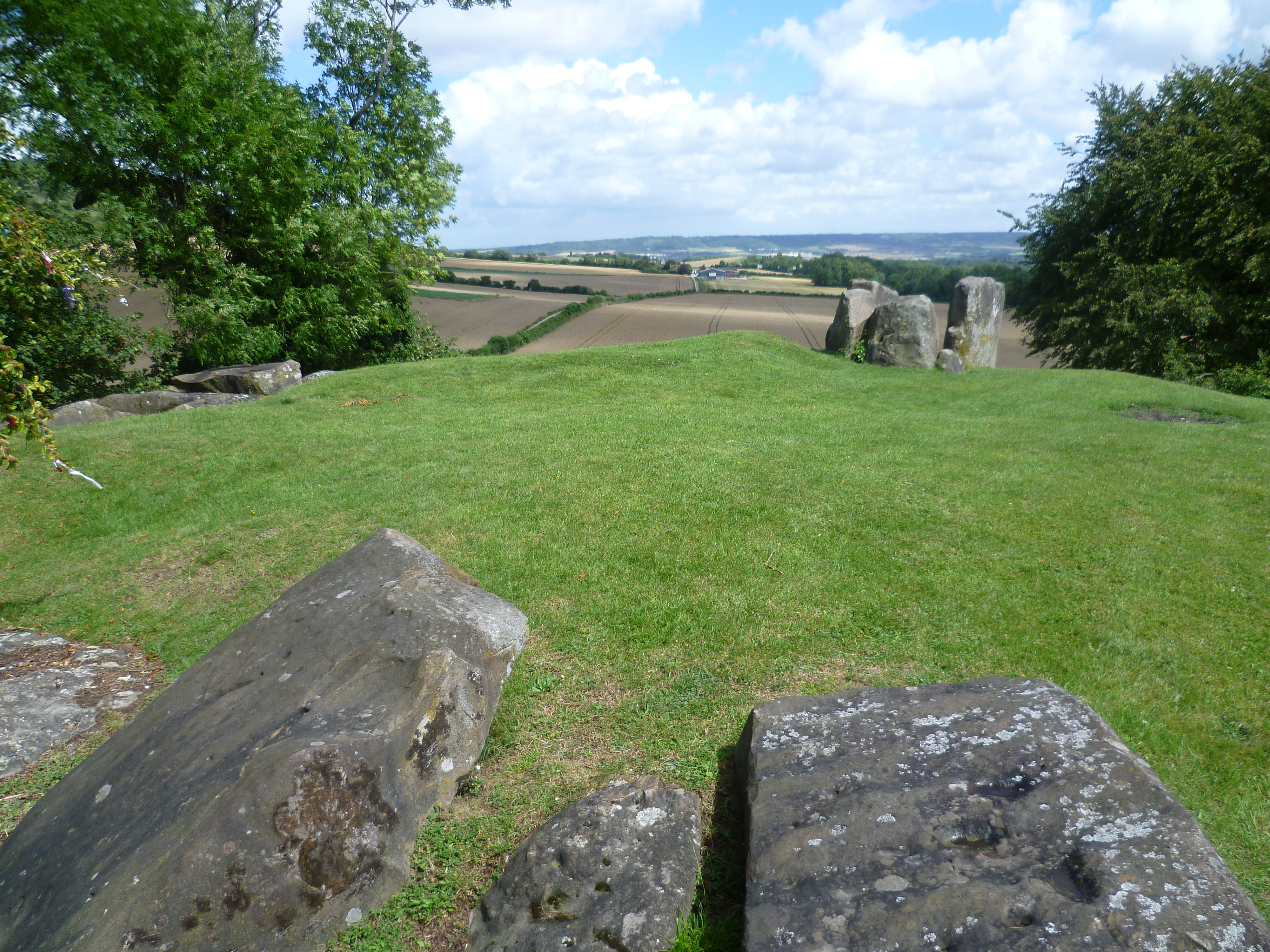 BarrowBarrow, ring-barrow · 542 yd
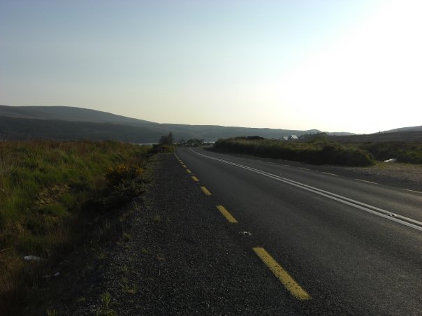 RoadRoad, road/trackway · 1138 yd
 An Tobarhouse · 1467 yd
 Enclosure in CloghnadrominEnclosure · 1502 yd
 Bawn in CarrigarreelyBawn · 1564 yd
 CastleCastle, unclassified · 1659 yd
 St Lawrence's WellSpring · 1.9 mi
 Wych ElmWych Elm · 2.1 mi
 Graveyard in AbingtonGraveyard · 2.8 mi
 Sliev Felim WayVisitor information · 4.2 mi
 Skool HillMountain / peak · 5.2 mi
 Banoge's WellSpring · 5.2 mi