What is recorded here
Fairy fort in Tinnynarr, County Longford: a 28m raised circle on a gentle SW-facing ridge, enclosed by a low earth-and-stone bank and shallow fosse, its outer bank now faint and entrance lost. Cattle graze across it, people walk past, and the old boundary blunts into grass. Yet the shape remains, a quiet ring on the hill, marking the kind of place where humans once drew a line around what they wanted to keep.
On the gentle SW-facing slope of a low ridge in pasture. A report in 1976 (SMR file) indicates that this raised circular area (diam. c. 28m) was enclosed by a wide low bank of earth and stone and an intervening fosse. A outer bank was evident from N-S-SW. It is defined by a partially degraded scarp (H 0.6-0.8m), at the base of which is a wide shallow fosse (Wth 3.8m; D 0.15m). The outer bank is no longer evident at ground level and the original entrance is not recognisable.
Compiled by: Patrick F. O'Donovan
Date of upload: 18 January 2012
A fairy fort or earthen ringfort in Tinnynarr is a circular earthwork enclosure, likely dating to the early medieval period, characterized by a wide, low bank and an intervening fosse. Local tradition associates such sites with fairy folk, and they were often avoided or treated with reverence by rural communities.
The monument record does not grant public access. Check the route and ask the landowner before entering private land.
- What survives
- Recorded monument
Places near here
 Enclosure in ShantumEnclosure · 569 yd
 Edgeworthstown BypassMemorial · 579 yd
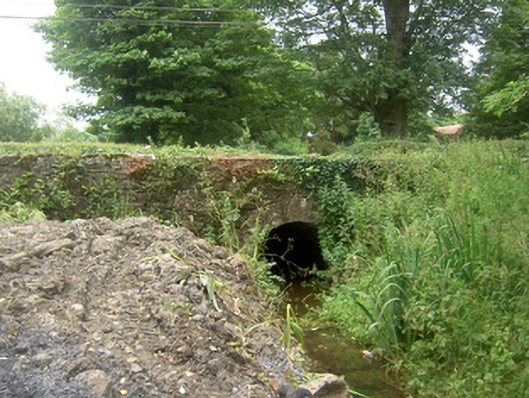 Holy Well Bridgebridge · 586 yd
 Abbey (in Ruins)Religious house, Franciscan Third Order Regular · 695 yd
 St. Barrys WellHoly well · 777 yd
 MoatawardCastle, motte and bailey · 1664 yd
 MoatCastle, motte · 1.5 mi
 Oldtown DemesneForest · 3.3 mi
 Oldtown CopseWood · 3.3 mi
 Granard MotteMotte-and-bailey castle remains · 7.6 mi
 1798 Monumentmonument · 7.7 mi
 Graveyard in Curry (ardagh By., Coolamber Ed)Graveyard · 8.5 mi