What is recorded here
Fairy forts in County Limerick were busy mortal places before becoming fairy places in memory. Shanrath kept a true ring, wide enough for a small household and visible on the 1924 map. The farm track cut through it and farming flattened the rest, leaving only a shallow arc beside the wheels. The fairies did not leave so much as stop being named.
In level pasture. Monument, depicted on 1924 OS 6-inch map as embanked circular enclosure (diam. c. 40m) bisected by field boundary, has been levelled. Farm track now follows line of field boundary. On NW side of trackway line of fosse can be traced as very shallow depression following arc S->NE (diam. 35m N-S)
Compiled by: Denis Power
Date of upload: 26 August 2011
The monument record does not grant public access. Check the route and ask the landowner before entering private land.
- What survives
- Recorded monument
Places near here
 Moanleanna Househouse · 1.0 mi
 Enclosure in Ballintober EastEnclosure · 1.3 mi
 Castle MahonCastle · 1.5 mi
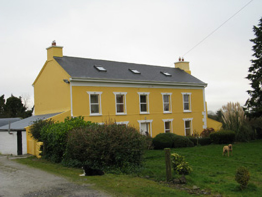 Camas Househouse · 1.6 mi
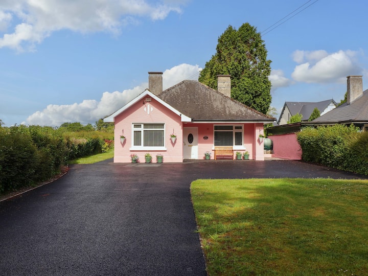 Mound in CamasMound · 1.6 mi
 Mayne Ho.Castle, unclassified · 2.8 mi
 Saint Ite's WellSpring · 2.9 mi
 Garbally WellSpring · 3.5 mi
 Ballagh MountainMountain / peak · 3.9 mi
 Limerick GreenwayWalking route · 6.3 mi
 National Co-op MuseumMuseum · 6.6 mi
 Mullaghareirk - Banane LoopWalking route · 6.7 mi