What is recorded here
In undulating pasture. Roughly circular area (28m E-W; 30m N-S) enclosed by low broad earthen bank (H 0.2m; Wth 1.6m). Gap (Wth c. 6m) in bank to E. Field boundary shown skirting site SW->N on 1924 OS 6-inch map has been removed W->N; site now incorporated into pasture field. Interior slopes down towards centre and surface uneven, probably due to dumping. A limekiln, but no enclosure, is shown here on 1841 map. This site may be an infilled quarry.
Compiled by: Denis Power
Date of upload: 26 August 2011
This remains an important historical record, but the official description says the monument is no longer visible or has been destroyed. The monument record does not grant public access. Check the route and ask the landowner before entering private land.
- What survives
- No visible remains or recorded as destroyed
Places near here
 Mound in CamasMound · 1723 yd
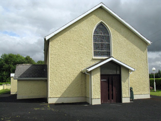 Saint Ita's Catholic Churchchurch/chapel · 1.3 mi
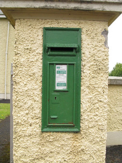 post boxpost box · 1.3 mi
 Mound in AppletownMound · 1.5 mi
 Saint Ite's WellSpring · 2.2 mi
 Dotted outlineBawn · 2.3 mi
 Castle MahonCastle · 2.8 mi
 Ballagh MountainMountain / peak · 3.0 mi
 ToberhoranSpring · 3.8 mi
 Mullaghareirk - Banane LoopWalking route · 5.4 mi
 National Co-op MuseumMuseum · 5.8 mi
 Rock HillMountain / peak · 6.4 mi
Other information
Photo: Credit not shown in the picture search · Rights wording not checked; contact us if this picture should be removed