What is recorded here
In level pasture. The site that is depicted as a circular mound (diam. c. 10m) on the 1924 OS 6-inch map has been levelled. Its location is now identified as a patch (diam. c. 10m) of uneven stony ground covered by briars and nettles, in an otherwise level field of grass.
From the National Monuments Service (Archaeological Survey of Ireland) record LI044-066
The monument record does not grant public access. Check the route and ask the landowner before entering private land.
- What survives
- Recorded monument
Places near here
Photo credits
- National Inventory of Architectural Heritage
- A.-K. D., Wikimedia Commons · CC BY-SA 4.0
- Mike Searle, Wikimedia Commons · CC BY-SA 2.0
- Garry Dickinson, Geograph · CC BY-SA 2.0
- Created by Kglavin Modified Aug 2007 by Mike Christie, Wikimedia Commons · CC BY-SA 3.0
- Jonathan Thacker, Geograph · CC BY-SA 2.0
- jonleebotany, Wikimedia Commons · CC0
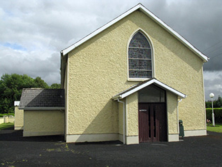 Saint Ita's Catholic ChurchChurch/chapel · 1608 yd
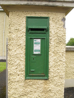 post box1628 ydEnclosure in Ballintober EastEnclosure · 1723 yd
 Saint Ite's WellSpring · 1.3 miBallagh MountainMountain / peak · 2.3 mi
 Glenquin CastleCastle · 2.7 mi
 Castle MahonCastle · 3.1 miToberhoranSpring · 4.8 miMullaghareirk - Banane LoopWalking route · 5.4 mi
 Ardagh FortArchaeological place · 7.3 mi
 Three CountiesPicnic place · 9.7 mi
 Lawson's Cypress11 mi
More archaeology and monuments in County Limerick · All of County Limerick
What do you know about this place?