What is recorded here
Fairy forts are no joke; they are heavy earth and human memory. This is a ringfort in Scart, a circular grassy ridge thirty metres across on a gentle slope. People lived here, built here, and left the land marked long before cameras or inventories. The fairies are only the part humans forgot.
In pasture, on gentle N-facing slope. Circular slightly raised area (34m E-W; 33m N-S) enclosed by scarp NE->ESE and SSE->SSW; earthen bank elsewhere (ext. H 1.3m) with low internal bank height; external fosse (D 0.25m) SSE->WSW. Field clearance material dumped against E scarp. Bank overgrown.
The above description is derived from the published 'Archaeological Inventory of County Cork. Volume 4: North Cork' (Dublin: Stationery Office, 2000). In certain instances the entries have been revised and updated in the light of recent research.
Date of upload/revision: 14 January 2009
The monument record does not grant public access. Check the route and ask the landowner before entering private land.
- What survives
- Recorded monument
Places near here
 Mound in Scart (orrery and Kilmore By., Ballyclogh Par.)Mound · 636 yd
 Field system in Scart (orrery and Kilmore By., Ballyclogh Par.)Field system · 1113 yd
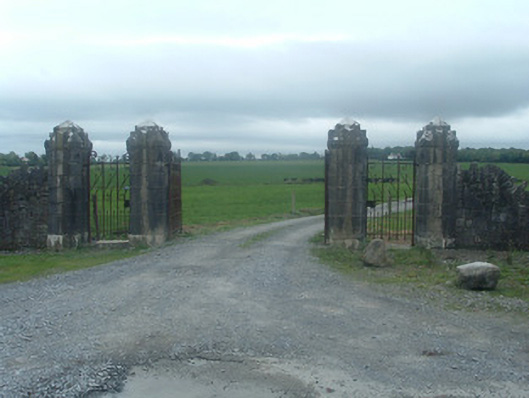 Castlelohortgates/railings/walls · 1620 yd
 gate lodgegate lodge · 1.1 mi
 CastleBawn · 1.3 mi
 Graveyard in Ballygiblin (duhallow By.)Graveyard · 1.5 mi
 Lohort CastleCastle, tower house · 1.6 mi
 Lady's WellSpring · 3.2 mi
 European YewEuropean Yew · 3.2 mi
 Burial ground in AssolasBurial ground · 3.5 mi
 Dromaneen CastleHeritage attraction · 4.0 mi
 St Fursey's WellSpring · 5.4 mi