What is recorded here
In undulating pasture, on slightly higher area of field. Oval area (dims. 26m N-S; 28m E-W) defined by bank (Wth 4.5m; int. H 0.2m; ext. H 1.2m) NW-E-SSW and scarp (Wth 2.7m; H 1.4m) SSW-NW; Possible entrance (Wth 1.75m) at W. Bank has occasional cattle breaches (Wth c. 1-1.5m) and is denuded SSE-SSW. Fosse (Wth 8m; D 0.25m). Remains of low profile outer bank (Wth 7m; int. H 0.25m; ext. H 0.2m) traceable SE-SW and NNW-N and NNE-ENE. Interior has a general slope to E and is covered in tussocks of grass; Depression within is defined S-W-NE; Linear feature (long-axis E-W; L c. 2m; Wth 1.35m; D 0.25m) in W sector may be associated with possible entrance. Low, saddle like area to WSW between monument and pond.
Compiled by: Jean Farrelly
Date of upload: 26 August 2011
The monument record does not grant public access. Check the route and ask the landowner before entering private land.
- What survives
- Recorded monument
Places near here
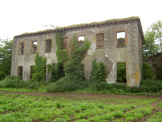 Roesborough Housecountry house · 393 yd
 Enclosure in Barronstown (ormond), (shronell Par.)Enclosure · 1129 yd
 Site of CastleCastle, unclassified · 1184 yd
 Enclosure in Barronstown (laffan),barronstown (ormond), (tipperary Par.)Enclosure · 1411 yd
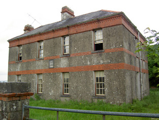 Victoria Houseoffice · 1.3 mi
 Mutton Pie HillCastle, motte · 1.5 mi
 The Maid of ErinMemorial · 1.8 mi
 It's a long way to TippereryHeritage attraction · 1.9 mi
 Bansha ForestForest · 3.3 mi
 The RockViewpoint · 3.3 mi
 Glen of AherlowViewpoint · 3.6 mi
 Christ the KingViewpoint · 3.6 mi