
What is recorded here
In improved pasture, on a gentle S-facing slope. Identified as an oval enclosure (c. 30m WNW-ESE; c. 22m NNE-SSW) on the latest edition OS 6-inch map. According to the landowner it was a low clay mound with was levelled c. 25-30 years ago, c. 1970s. No visible surface trace.
Compiled by: Jean Farrelly
Date of upload: 26 August 2011
A local fairy fort (ringfort/rath); wider significance not recorded.
The monument record does not grant public access. Check the route and ask the landowner before entering private land.
- What survives
- Recorded monument
Places near here
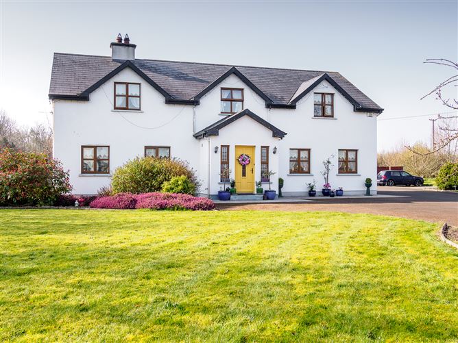 Enclosure in Barronstown (laffan),barronstown (ormond), (tipperary Par.)Enclosure · 818 yd
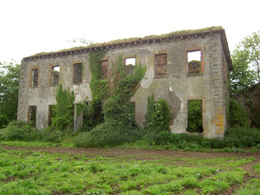 Roesborough Housecountry house · 1039 yd
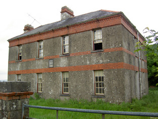 Victoria Houseoffice · 1393 yd
 Hut site in BallykisteenHut site · 1577 yd
 Site of CastleCastle, unclassified · 1.3 mi
 Mutton Pie HillCastle, motte · 1.8 mi
 The Maid of ErinMemorial · 2.2 mi
 Soloheadbeg Ambush SiteMemorial · 2.6 mi
 Oola HillMountain / peak · 3.4 mi
 Bansha ForestForest · 4.0 mi
 The RockViewpoint · 4.0 mi
 SlievenamuckMountain / peak · 4.2 mi
Other information
Photo: Credit not shown in the picture search · Rights wording not checked; contact us if this picture should be removed