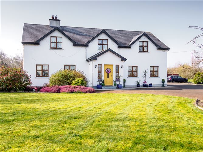
What is recorded here
On a very slight E-facing slope in gently undulating pasture with a moated site (TS058-058001-) located immediately to the W. Roughly circular slightly raised area (dims. 45m N-S; 48m E-W) defined by a low broad earthen bank (overall Wth 5.2m; Wth at top 1.8m; int. H 0.15m; ext. H 0.25m). The bank is absent N-SW and the enclosure is defined by a low broad earthen scarped edge (Wth 2.1m; 0.45m). A modern field boundary bank skirts the external base of the scarped edge SE-SW. The enclosure is defined SW-NW by the E side of the neighbouring moated site. The original entrance is not recognisable. The interior slopes slightly facing E and is clear of overgrowth.
Compiled by: Jean Farrelly
Date of upload: 26 August 2011
The monument record does not grant public access. Check the route and ask the landowner before entering private land.
- What survives
- Recorded monument
Places near here
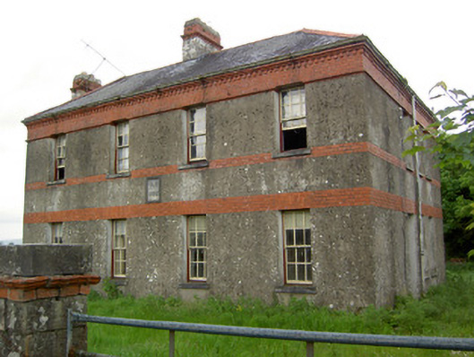 Victoria Houseoffice · 807 yd
 Enclosure in Barronstown (ormond), (shronell Par.)Enclosure · 818 yd
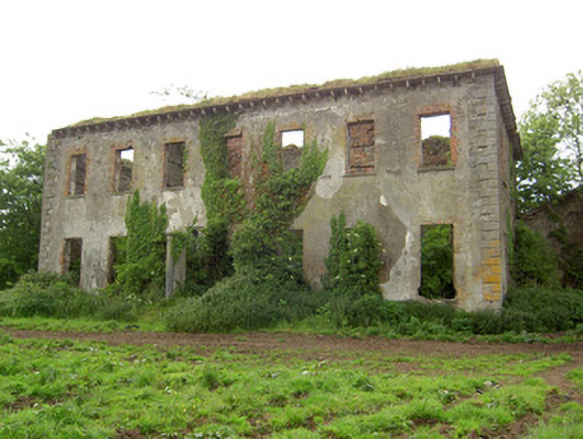 Roesborough Housecountry house · 1095 yd
 Hut site in BallykisteenHut site · 1393 yd
 Site of CastleCastle, unclassified · 1.3 mi
 Mutton Pie HillCastle, motte · 1.4 mi
 The Maid of ErinMemorial · 1.9 mi
 It's a long way to TippereryHeritage attraction · 2.0 mi
 Soloheadbeg Ambush SiteMemorial · 2.2 mi
 Oola HillMountain / peak · 3.5 mi
 The RockViewpoint · 3.9 mi
 Bansha ForestForest · 4.1 mi
Other information
Photo: Credit not shown in the picture search · Rights wording not checked; contact us if this picture should be removed