What is recorded here
Visible as a circular feature (diam. c. 60m) defined by a slight earthen bank on aerial photographs (GSIAP: G 149-50), and situated on a slighe rise. It is not visible at ground level in reclaimed pasture.
Compiled by: Michael Moore
Date of upload: 24 August 2010
The monument record does not grant public access. Check the route and ask the landowner before entering private land.
- What survives
- Recorded monument
Places near here
 Not indicatdFairy fort / stone ringfort · 764 yd
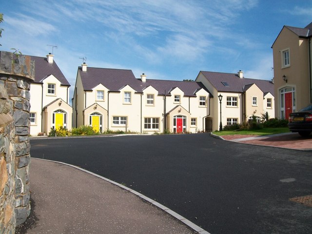 Embanked enclosureFairy fort / earthen ringfort · 1074 yd
 Penal Mass station in MacnadillePenal Mass station · 1556 yd
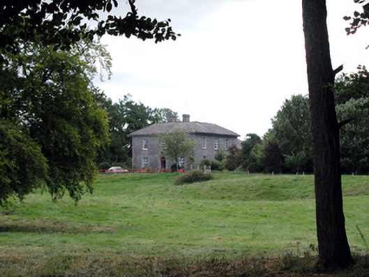 Glencarne Househouse · 1.1 mi
 Hughestown WoodForest · 1.5 mi
 Moylung Castle (in ruins)Castle, unclassified · 2.4 mi
 Castle (Site of)Castle, unclassified · 3.3 mi
 Horse-chestnutHorse-chestnut · 3.4 mi
 Moon RiverHeritage attraction · 3.6 mi
 Trinity IslandIslet · 4.1 mi
 Bingham IslandIslet · 4.4 mi
 Battle of Áth an Chipbattle · 5.4 mi