What is recorded here
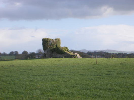
Mature trees still crown the scarped edge of the Riddlestown ringfort, guarding a circular pasture that field boundaries later cut into an oval. The earthwork stands barely seven tenths of a metre high, yet it holds its shape against modern farms and sheds. People may have lived inside that shallow bowl before boundaries redrawn it, but the trees suggest the place still resists forgetting.
In pasture, on gentle W-facing slope. Originally circular area (diam. 37.4m E-W) has been truncated SE->SW by E-W field boundary (now 32.5m N-S). This area defined SW->SE by scarped edge (H 0.7m; Wth 3.15m), but no trace of scarp on S side of field boundary. Mature trees grow along top edge of scarp. Dip in scarp (Wth c. 4.5m) at NNE. Recently deposited band of earth and stone runs along base of scarped edge. Level interior under pasture. Recently built farm shed and concrete yard lie 40m to WSW.
Compiled by: Denis Power
Date of upload: 26 August 2011
The monument record does not grant public access. Check the route and ask the landowner before entering private land.
- What survives
- Recorded monument
Places near here
 kilnkiln · 597 yd
 TobernawathaHoly well · 637 yd
 Field system in CloghanaroldField system · 703 yd
 Doondonnell Church (in ruins)Church · 1056 yd
 TobernablahySpring · 1212 yd
 Bawn in Lisnacullia (connello Lower By.)Bawn · 1496 yd
 Castle MatrixCastle, tower house · 1.2 mi
 St. Kieran's WellSpring · 1.4 mi
 European ashEuropean ash · 3.0 mi
 Flat cemetery in CroaghFlat cemetery · 4.2 mi
 Askeaton CastleHeritage attraction · 5.0 mi
 Little HeavenHeritage attraction · 6.3 mi