What is recorded here
Situated towards the N end of a slight N-S rise. The cropmark of a circular enclosure (diam. c. 30m) defined by a single fosse feature is visible on aerial photographs (ASIAP, WX 105, 27-29). The field system (WX053-010----) is in the same area, but not connected with the enclosure.
The above description is derived from the published 'Archaeological Inventory of County Wexford' (Dublin: Stationery Office, 1996). In certain instances the entries have been revised and updated in the light of recent research.
Compiled by: Michael Moore
Date of upload/revision: 25 March, 2014
The monument record does not grant public access. Check the route and ask the landowner before entering private land.
- What survives
- Recorded monument
Places near here
 CastleHouse, fortified house · 229 yd
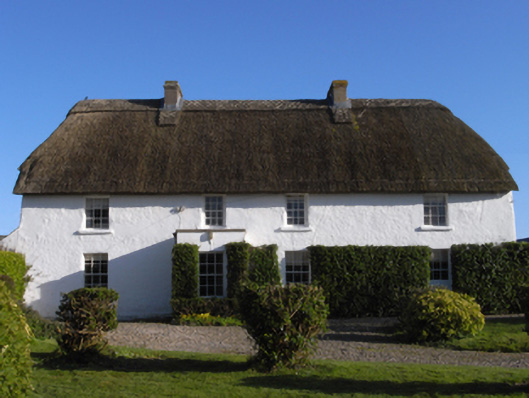 farm housefarm house · 599 yd
 InishIsland · 811 yd
 Not idnicatedField system · 925 yd
 Chapel in Ballytory LowerChapel · 1054 yd
 Wind MillWindmill · 1431 yd
 ScargeenIsland · 1432 yd
 TowerBawn · 1.0 mi
 Lady's IslandVisitor information · 1.1 mi
 The Chour / The Hill of the ChourMountain / peak · 1.5 mi
 The CaamstoneNamed rock · 1.8 mi
 The Caravan RockNamed rock · 2.3 mi