
What is recorded here
Situated on a slight S-facing slope. A chapel dedicated to All Saints at Ballytory is listed by Sinnott writing c. 1680 (Hore 1862, 68; 1921, 60). An area known locally as the Graveyard produced evidence of burials when an attempt was made to reclaim it in the 1970s. A rectangular area (dims. 15m E-W; 10m N-S) of rough grass and scrub remains undisturbed on a gentle S-facing slope.
Compiled by: Michael Moore
Date of upload: 3 January, 2014
A local church or high cross; wider significance not recorded.
The monument record does not grant public access. Check the route and ask the landowner before entering private land.
- What survives
- Recorded monument
Places near here
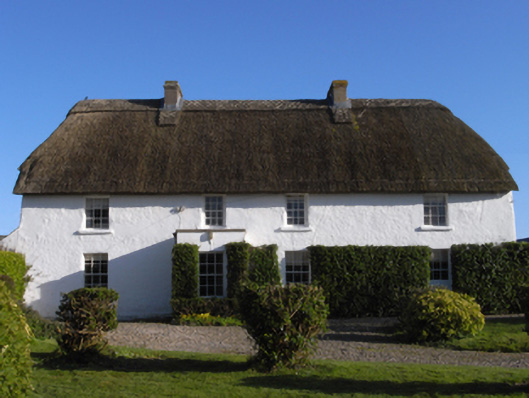 farm housefarm house · 506 yd
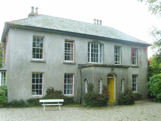 Ballytory Castlefarm house · 519 yd
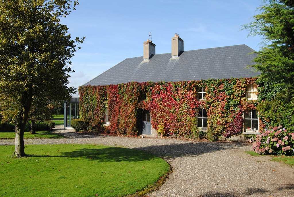 Enclosure in Ballytory UpperEnclosure · 539 yd
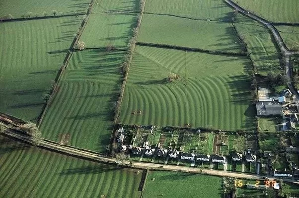 Field system in Ballytory UpperField system · 695 yd
 CastleHouse, fortified house · 884 yd
 InishIsland · 1624 yd
 Ballymacane CastleCastle, unclassified · 1700 yd
 ScargeenIsland · 1.0 mi
 Lady's IslandVisitor information · 1.2 mi
 Wilson's MoorWood · 1.8 mi
 The Chour / The Hill of the ChourMountain / peak · 2.0 mi
 The HamBay · 2.1 mi
Other information
Photo: Credit not shown in the picture search · Rights wording not checked; contact us if this picture should be removed