What is recorded here
In a level area in rocky pasture, with wet ground immediately to E. A slightly raised circular area (diam. 22m) defined by a scarp (H 1m) with a fosse and external bank. The edge of the scarp is topped NE-SE by the low remains of a field boundary wall. A similar wall (Wth 2m; H 0.4m), set 2.4m in from the edge of the scarp, curves WSW-N. The scarp is low or eroded at SE and SW. The fosse (Wth 3.7m) is crossed at SSE, SSW and SW by the field boundary walls. The outer bank (Wth 3m; int. H 1.1m; ext. H 0.6m) is evident all round as a stony sod-covered rise with traces of stone kerbing. The interior is level and crossed off-centre to W by the remains of a N-S field boundary. There is a field clearance cairn in the SW quadrant. This rath is part of a complex of cashels (SL025-015001-; SL025-015002-; SL025-015004-; SL025-015007-; SL025-015008-; SL025-015012-), enclosures (SL025-015003-; SL025-015011-), a possible enclosure (SL025-015005-), and a hut site (SL025-015010-).
The above description is derived from the published 'Archaeological Inventory of County Sligo' compiled by Ursula Egan, Elizabeth Byrne, Mary Sleeman with Sheila Ronan and Connie Murphy (Dublin Stationery Office, 2005).
Date of upload: 18 January 2008
The monument record does not grant public access. Check the route and ask the landowner before entering private land.
- What survives
- Recorded monument
Places near here
 Enclosure in RathoseyEnclosure · 360 yd
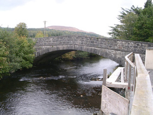 bridgebridge · 606 yd
 IndicatedCastle, motte · 619 yd
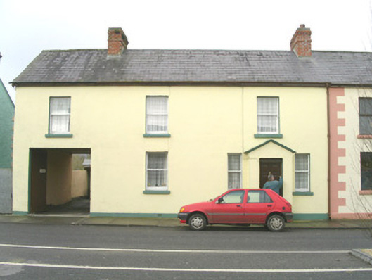 court housecourt house · 734 yd
 Tullaghan HillMountain / peak · 1731 yd
 Tullaghan CastleCliff-edge fort · 1746 yd
 DoomoreMountain / peak · 1.1 mi
 Moymlough Castle (in Ruins)Castle, tower house · 1.7 mi
 RinnatalleenHeadland · 2.8 mi
 Derinch PointHeadland · 3.1 mi
 CarrigeenfaddaIslet · 4.0 mi
 Giant's GraveArchaeological place · 4.1 mi