What is recorded here
Muck and water feed the grass where the fort stands, but the fort is no longer much more than a rumour in the soil. The fairies may have built it, or people may have built it and the fairies may have inherited the story. Either way, the ground keeps the shape of a claim, and the claim is that the place is not empty.
In undulating pasture. Shown on the 1st ed. (1838) of the OS 6-inch map as a C-shaped area (est. max. 45m N-S) defined by a bank and open to the E; probably the W-half of an originally circular enclosure. The totally overgrown perimeter of the monument is traceable as a low scarp (H 0.4m) SW-W-N.
Compiled by: Gearóid Conroy
Date of upload: 30 August 2012
The monument record does not grant public access. Check the route and ask the landowner before entering private land.
- What survives
- Recorded monument
Places near here
 Church (in Ruins)Church · 1067 yd
 Site of CastleCastle, unclassified · 1251 yd
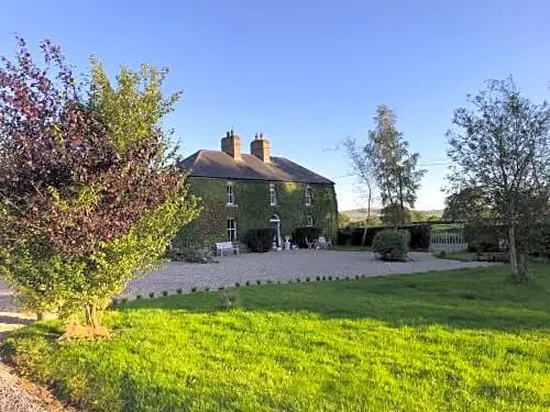 Enclosure in FennorEnclosure · 1379 yd
 Enclosure in Grangebeg (kildangan Ed)Enclosure · 1717 yd
 Walls of ChurchChurch · 1.5 mi
 Brookfield WoodWood · 2.1 mi
 Sitka SpruceSitka Spruce · 2.2 mi
 Horse MuseumMuseum · 2.5 mi
 Japanese GardensHeritage attraction · 2.5 mi
 Tully Ho.Castle, unclassified · 2.6 mi
 Battle of Kilrushbattle · 6.0 mi
 Bithia Mary CrokerMemorial · 6.6 mi