What is recorded here
On the summit of a broad hill, the ground slopes off to the NE beyond the monument, in pasture. Though the monument has been levelled it is still evident as a bivallate ringfort (diam. 44.4m N-S; 50m E-W), with much denuded inner bank (Wth. 1.5m crest; 5.8m base; int. H 0.2m; ext. H 0.61m); fosse (Wth 2.4m; D 0.7m) and outer bank (Wth 6.3m; ext. H 0.12m). There is a small pond immediately E of the monument, the outer bank adjacent to this pond is gone and the inner bank is degraded. In the SW quadrant the inner bank is gone and there is shallow quarrying into the interior, the fosse is filled-up, may be possible causeway, there are slight traces of an outer bank in this area. On the 2nd (1906) ed. OS 6-inch map a limekiln is indicated on the outer bank in the NE quadrant. The inner and outer banks in the NE quadrant are almost completely levelled. In the S quadrant thre is some quarrying into the inner bank from the fosse.
Compiled by: Jean Farrelly
Date of upload: 26 August 2011
The monument record does not grant public access. Check the route and ask the landowner before entering private land.
- What survives
- Recorded monument
Places near here
 Enclosure in Grangebeg,milltown BrittonEnclosure · 734 yd
 Enclosure in Shanbally (lisronagh Par.)Enclosure · 841 yd
 Persian WalnutPersian Walnut · 1154 yd
 Site of Carrigeen CastleCastle, unclassified · 1182 yd
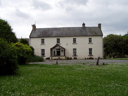 Annsforthouse · 1193 yd
 RoadRoad, road/trackway · 1303 yd
 Castle (in ruins)Castle, unclassified · 1324 yd
 Pedunculate OakPedunculate Oak · 1.6 mi
 East GateMemorial · 3.3 mi
 Kilknockan HillMountain / peak · 4.4 mi
 Charles BianconiMemorial · 4.7 mi
 Main GuardHeritage attraction · 4.7 mi